UN/LOCODE hub · United States
USPFK
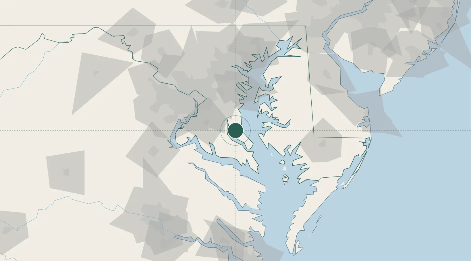
Prince Frederick
38.5333°, -76.5833°
2,538
Population
2
Transport functions
Transport Functions
Road
Multimodal
Hub Profile
Place type
Provincial seat
Region
Maryland
Population
2,538
Time zone
America/New_York
Elevation
42 m
Location
Nearby Logistics Neighbours
Cities
- 1North Beach19 km
- 2Friendship22 km
- 3Cove Point25 km
- 4Solomons27 km
- 5White Plains31 km
Ports
- 1Solomons Island27 km
- 2Piney Point45 km
- 3Alexandria49 km
- 4Annapolis51 km
- 5Washington D.C.54 km
Airports
Trade Zones
DatabookThe Record of Consolidated Knowledge
United States beyond logistics?