UN/LOCODE hub · United States
USCP6

Cove Point

38.3667°, -76.3833°
1
Transport functions

Transport Functions

Port
UN/LOCODE

Hub Profile

Place type
Populated place
GeoNames
Region
Maryland
GeoNames
Time zone
America/New_York
GeoNames
Elevation
1 m
GeoNames

Location

Location of USCP6
Natural Earth 10m (public domain) · Maryland · USCP6 · 38.37, -76.38GoogleOSMYandex

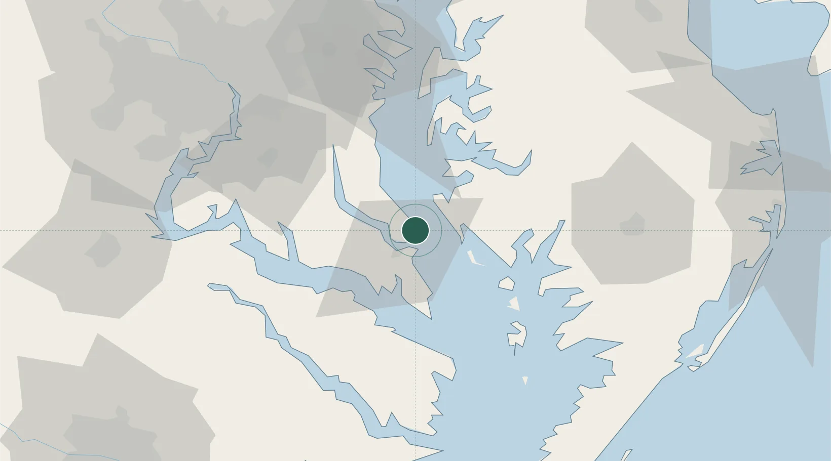
Nearby Logistics Neighbours

Cities
  1. 1Solomons8 km
  2. 2Prince Frederick25 km
  3. 3North Beach39 km
  4. 4Friendship44 km
  5. 5Heathsville51 km
Nearest neighbours — logibook spatial index (haversine) over the source coordinates
Ports
  1. 1Solomons Island8 km
  2. 2Piney Point29 km
  3. 3Salisbury68 km
  4. 4Annapolis69 km
  5. 5Alexandria74 km
Nearest neighbours — logibook spatial index (haversine) over the source coordinates
Airports
  1. 1Patuxent River Naval Air Station (Trapnell Field)9 km
  2. 2Joint Base Andrews65 km
  3. 3Salisbury Ocean City Wicomico Regional Airport76 km
  4. 4Ronald Reagan Washington National Airport78 km
  5. 5Davison Army Air Field80 km
Nearest neighbours — logibook spatial index (haversine) over the source coordinates
Trade Zones
  1. 1FTZ No. 063 PrInce Georges County85 km
  2. 2FTZ No. 073 BWI Airport94 km
  3. 3FTZ No. 074 Baltimore102 km
  4. 4FTZ No. 137 Washington Dulles International Airport114 km
  5. 5FTZ No. 207 Richmond140 km
Nearest neighbours — logibook spatial index (haversine) over the source coordinates
DatabookThe Record of Consolidated Knowledge
United States beyond logistics?
Browse databook

All Sources

LocationsUN/LOCODE
UN/LOCODE — free
Portsthe NGA World Port Index
Public domain (US gov)
AirportsOurAirports
Public domain
Trade Zonesthe World Bank SEZ database
CC BY 4.0
Trade ZonesOpen Zone Map
CC BY
← United States locations