Medium airport · United States

Patuxent River Naval Air Station (Trapnell Field)KNHK
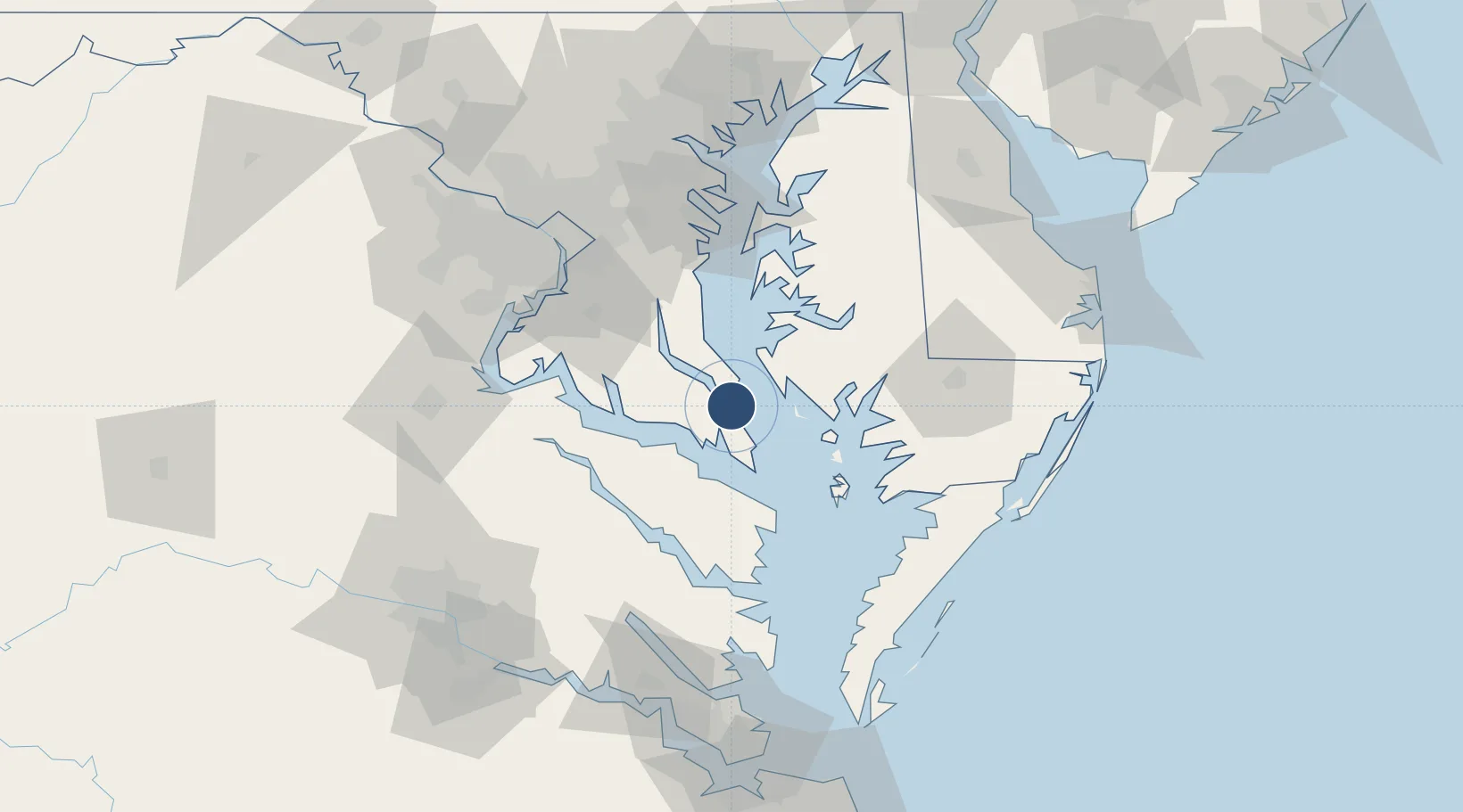
38.2860°, -76.4118°
11,799 ft
Longest runway
3
Runways
39 ft
Elevation

Runway & Layout

Patuxent River Naval Air Station (Trapnell Field) runway & taxiway layout
Runway & taxiway layout — OpenStreetMap (ODbL) / OurAirports

Radio Frequencies

ATIS
27.62 MHz
TWR
123.7 MHz
GND
120.6 MHz
CLD
135.2 MHz
CLNC DEL
A/D
120.05 MHz
APP/DEP
OPS
30.255 MHz
BASE OPS
PMSV
35.62 MHz
PMSV METRO
RDO
117.6 MHz
LEESBURG RDO
OurAirports

Navaids

NHK NDB Patuxent 400 kHz
PXT VORTAC Patuxent 117.60 MHz
OurAirports

Runways · 3

RunwayDimensions SurfaceTrue headingLit
06/24 11,799 × 200ft Asphalt / concrete 049°
14/32 9,732 × 200ft Asphalt / concrete 126°
02/20 5,021 × 75ft Asphalt 008°
OurAirports

Airport Specifications

IATA code
NHK
OurAirports
ICAO code
KNHK
OurAirports
Airport class
Medium airport
OurAirports
Scheduled service
No
OurAirports
Runway surface
Asphalt / concrete
OurAirports
Served city
Patuxent River
OurAirports

Location

Location of KNHK
Natural Earth 10m (public domain) · Maryland · KNHK · 38.29, -76.41GoogleOSMYandex

Nearby Logistics Neighbours

Airports
  1. 1Joint Base Andrews71 km
  2. 2Salisbury Ocean City Wicomico Regional Airport79 km
  3. 3Quantico Marine Corps Airfield / Turner Field82 km
  4. 4Davison Army Air Field82 km
  5. 5Ronald Reagan Washington National Airport83 km
Nearest neighbours — logibook spatial index (haversine) over the source coordinates
Cities
  1. 1Solomons5 km
  2. 2Cove Point9 km
  3. 3Prince Frederick31 km
  4. 4Heathsville41 km
  5. 5North Beach47 km
Nearest neighbours — logibook spatial index (haversine) over the source coordinates
Ports
  1. 1Solomons Island5 km
  2. 2Piney Point20 km
  3. 3Salisbury71 km
  4. 4Annapolis78 km
  5. 5Alexandria79 km
Nearest neighbours — logibook spatial index (haversine) over the source coordinates
Trade Zones
  1. 1FTZ No. 063 PrInce Georges County89 km
  2. 2FTZ No. 073 BWI Airport102 km
  3. 3FTZ No. 074 Baltimore111 km
  4. 4FTZ No. 137 Washington Dulles International Airport117 km
  5. 5FTZ No. 207 Richmond132 km
Nearest neighbours — logibook spatial index (haversine) over the source coordinates
DatabookThe Record of Consolidated Knowledge
United States beyond logistics?
Browse databook

All Sources

AirportsOurAirports
Public domain
Portsthe NGA World Port Index
Public domain (US gov)
LocationsUN/LOCODE
UN/LOCODE — free
Trade Zonesthe World Bank SEZ database
CC BY 4.0
Trade ZonesOpen Zone Map
CC BY
InfrastructureOpenStreetMap
ODbL 1.0
← United States airports