UN/LOCODE hub · United States
USHHV
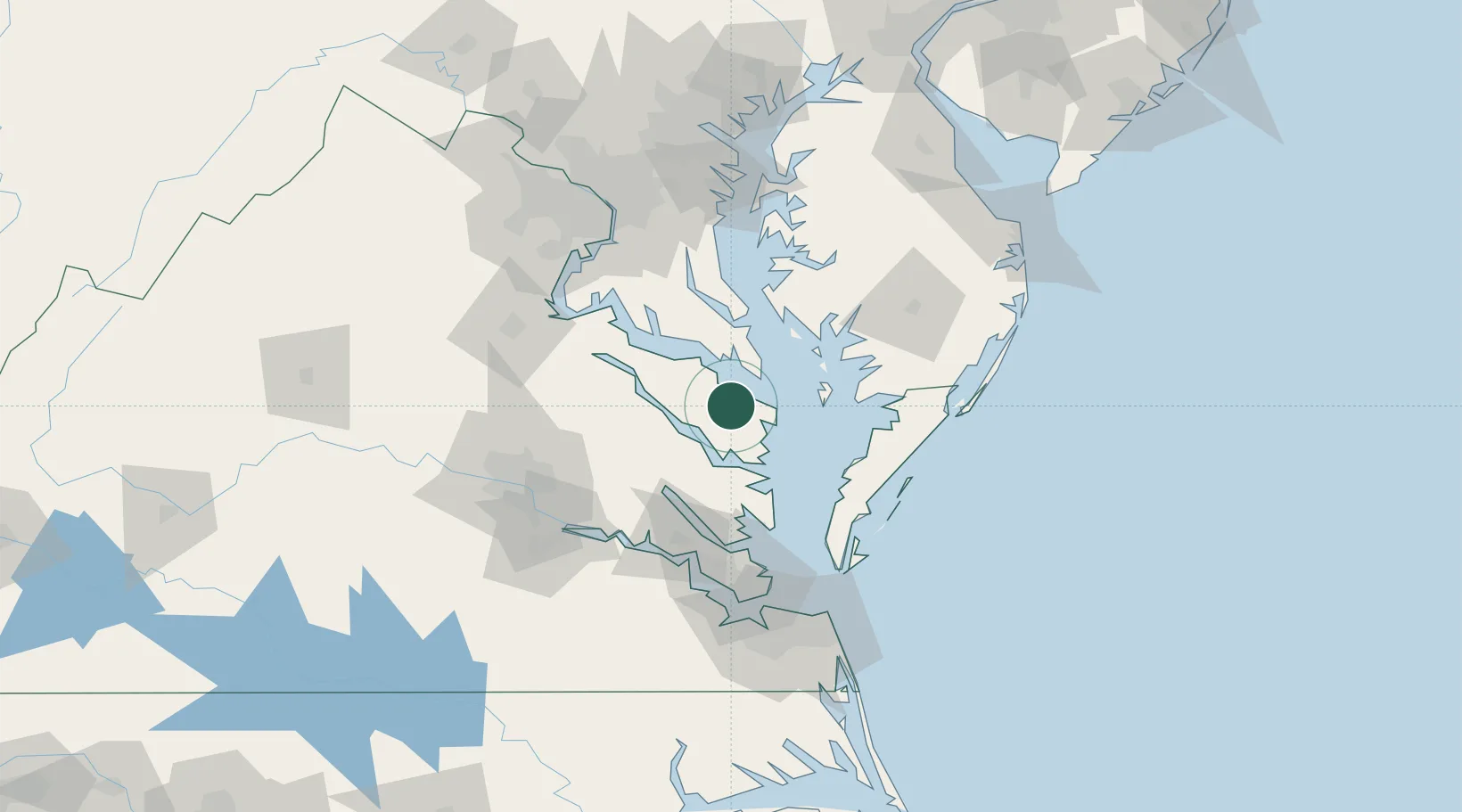
Heathsville
37.9167°, -76.4667°
142
Population
2
Transport functions
Transport Functions
Road
Multimodal
Hub Profile
Place type
Provincial seat
Region
Virginia
Population
142
Time zone
America/New_York
Elevation
31 m
Location
Nearby Logistics Neighbours
Cities
- 1Wicomico Church13 km
- 2Warsaw27 km
- 3Jamaica31 km
- 4Havelock34 km
- 5Locust Hill, Middlesex36 km
Ports
- 1Piney Point25 km
- 2Solomons Island45 km
- 3West Point52 km
- 4Yorktown76 km
- 5Cape Charles82 km
Airports
Trade Zones
DatabookThe Record of Consolidated Knowledge
United States beyond logistics?