UN/LOCODE hub · United States
USN4B
North Beach
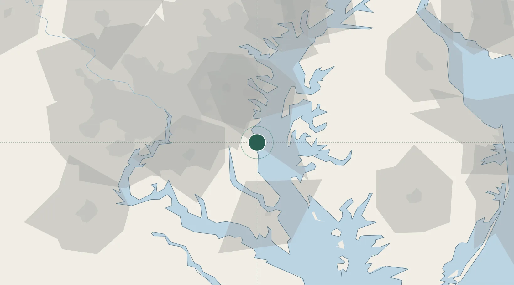
38.7000°, -76.5167°
2,014
Population
1
Transport functions
Transport Functions
Port
Hub Profile
Place type
Populated place
Region
Maryland
Population
2,014
Time zone
America/New_York
Elevation
0 m
Location
Nearby Logistics Neighbours
Cities
- 1Friendship7 km
- 2Harwood19 km
- 3Prince Frederick19 km
- 4Upper Malboro23 km
- 5Mitchellville32 km
Ports
- 1Annapolis32 km
- 2Solomons Island43 km
- 3Alexandria46 km
- 4Washington D.C.49 km
- 5Piney Point63 km
Airports
Trade Zones
DatabookThe Record of Consolidated Knowledge
United States beyond logistics?