Transport Functions
Rail
Road
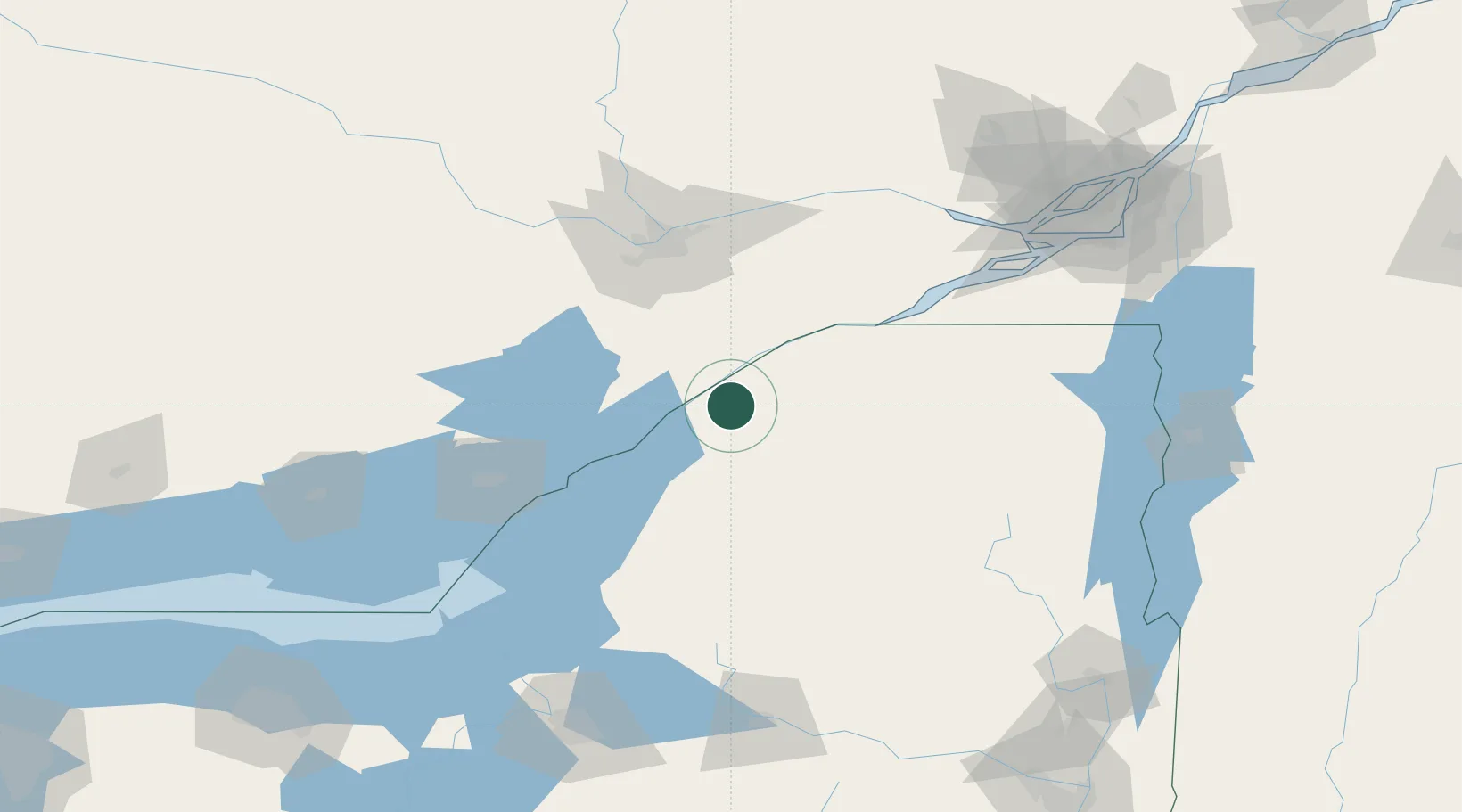
Hub Profile
Place type
Populated place
Region
New York
Population
729
Time zone
America/New_York
Elevation
96 m
Location
Nearby Logistics Neighbours
Cities
- 1Lisbon15 km
- 2Canton19 km
- 3Gouverneur32 km
- 4Norwood36 km
- 5Inkerman46 km
Ports
- 1Ogdensburg12 km
- 2Lower Lakes Terminal14 km
- 3Cardinal19 km
- 4Brockville21 km
- 5Rockport50 km
Airports
Trade Zones
- 1FTZ No. 118 Ogdensburg14 km
- 2FTZ No. 109 Watertown80 km
- 3FTZ No. 090 Onondaga159 km
- 4FTZ No. 172 Oneida County162 km
- 5Greater Montreal Free Zone Center175 km
DatabookThe Record of Consolidated Knowledge
United States beyond logistics?