Transport Functions
Rail
Road
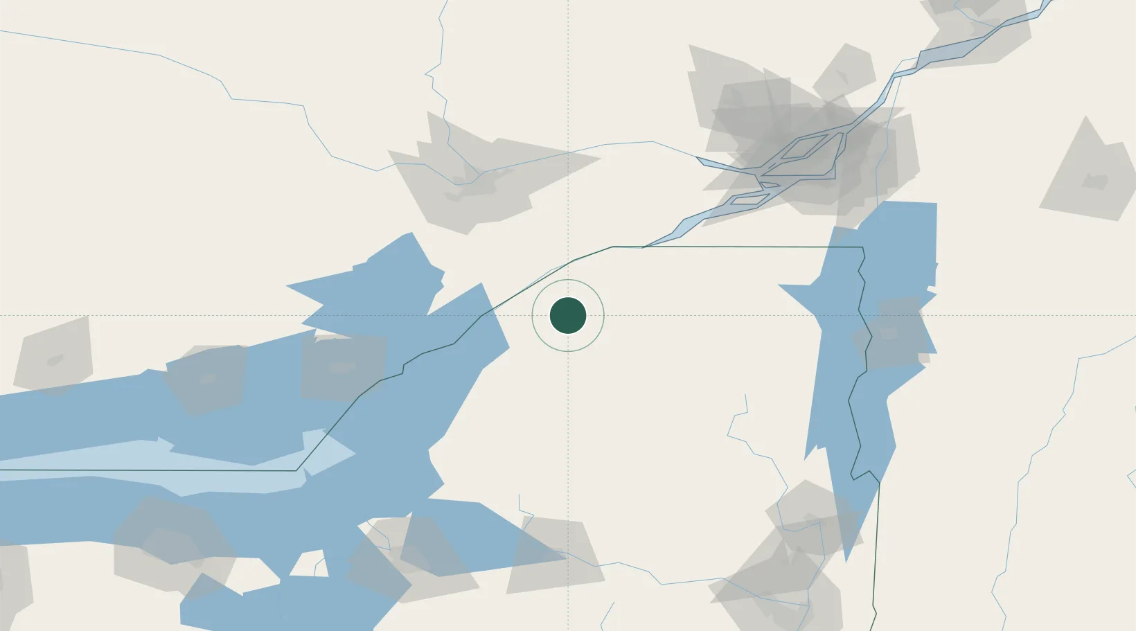
Hub Profile
Place type
Provincial seat
Region
New York
Population
6,570
Time zone
America/New_York
Elevation
115 m
Location
Nearby Logistics Neighbours
Cities
- 1Heuvelton19 km
- 2Lisbon21 km
- 3Norwood24 km
- 4Gouverneur37 km
- 5Ingleside48 km
Ports
- 1Cardinal28 km
- 2Lower Lakes Terminal29 km
- 3Ogdensburg29 km
- 4Brockville40 km
- 5Cornwall59 km
Airports
Trade Zones
- 1FTZ No. 118 Ogdensburg31 km
- 2FTZ No. 109 Watertown88 km
- 3Greater Montreal Free Zone Center163 km
- 4FTZ No. 172 Oneida County165 km
- 5FTZ No. 090 Onondaga168 km
DatabookThe Record of Consolidated Knowledge
United States beyond logistics?