Medium airport · United States
Wheeler Sack Army Air FieldKGTB
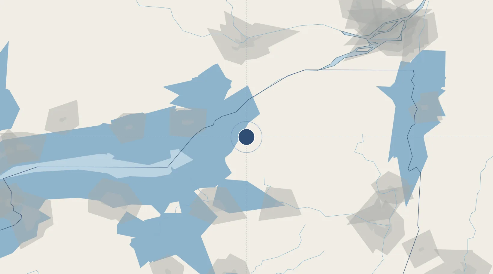
44.0556°, -75.7195°
10,000 ft
Longest runway
3
Runways
688 ft
Elevation
Runway & Layout

Radio Frequencies
ATIS
126.55 MHz
TWR
118.75 MHz
GND
121.9 MHz
A/D
128.25 MHz
APP/DEP
MISC
141.025 MHz
FORT DRUM FLT FLW
OPS
120.8 MHz
BASE OPS
PMSV
63.3 MHz
PMSV SACK METRO
Navaids
ART VORTAC Watertown 109.80 MHz
GTB NDB Drum 257 kHz
Runways · 3
| Runway | Dimensions | Surface | True heading | Lit |
|---|---|---|---|---|
| 03/21 | 10,000 × 150ft | Concrete | 016° | ✓ |
| 15/33 | 5,002 × 144ft | Concrete | 134° | ✓ |
| 08/26 | 4,501 × 150ft | Concrete | 070° | ✓ |
Airport Specifications
ICAO code
KGTB
Airport class
Medium airport
Scheduled service
No
Runway surface
Concrete
Served city
Fort Drum
Location
Nearby Logistics Neighbours
Airports
Cities
- 1Philadelphia11 km
- 2Carthage12 km
- 3Theresa19 km
- 4Denmark23 km
- 5Castorland25 km
Ports
- 1Clayton33 km
- 2Alexandria Bay35 km
- 3Rockport40 km
- 4Gananoque47 km
- 5Brockville59 km
Trade Zones
- 1FTZ No. 109 Watertown16 km
- 2FTZ No. 118 Ogdensburg75 km
- 3FTZ No. 172 Oneida County95 km
- 4FTZ No. 090 Onondaga95 km
- 5FTZ No. 141 Monroe County200 km
DatabookThe Record of Consolidated Knowledge
United States beyond logistics?