UN/LOCODE hub · United States
USHNL
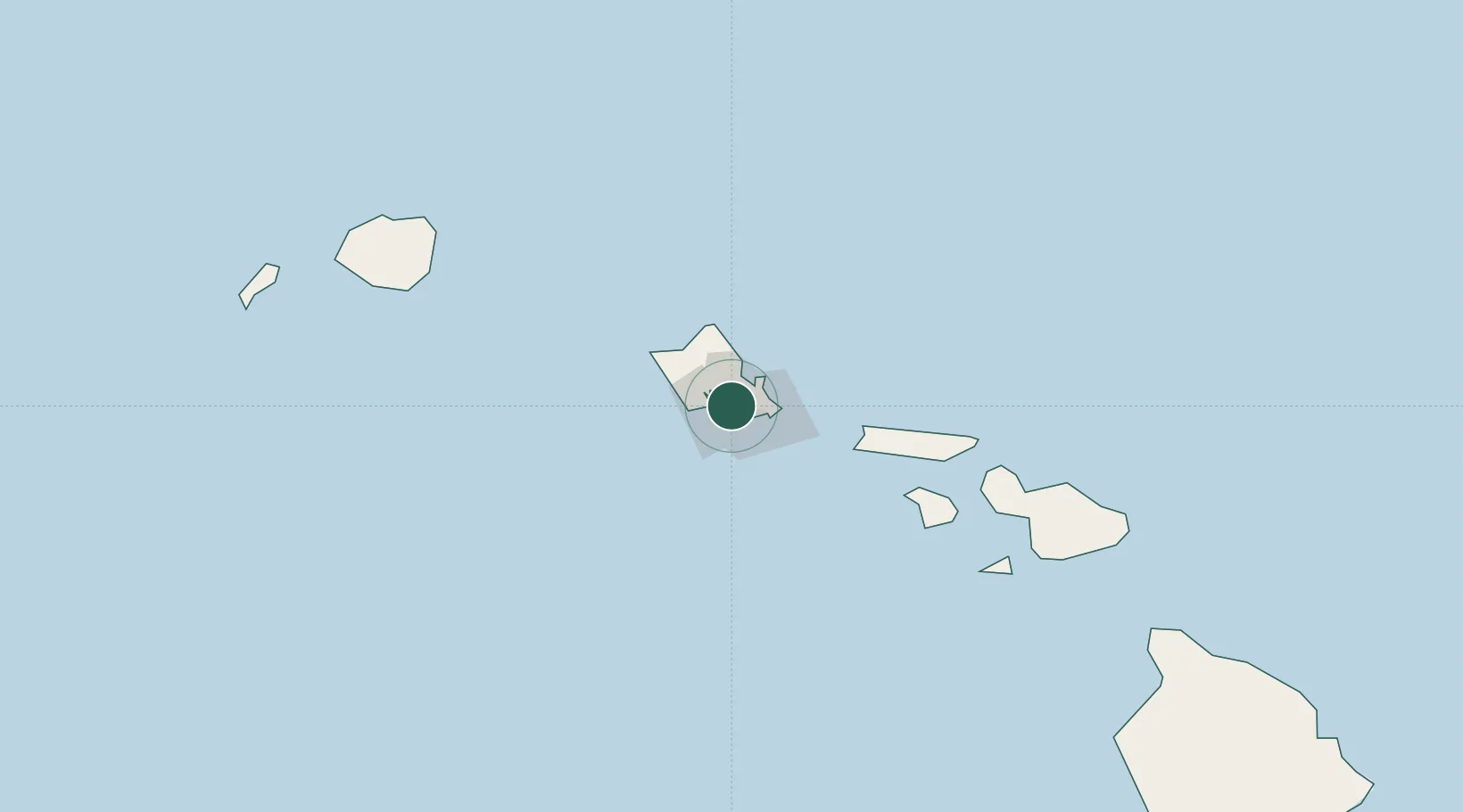
Honolulu
21.3179°, -157.8877°
350,964
Population
4
Transport functions
3
Container terminals
Transport Functions
Port
Road
Airport
Postal
Hub Profile
Place type
Regional capital
Region
Hawaii
Population
350,964
Time zone
Pacific/Honolulu
Elevation
5 m
Logistics facilities
12
Container terminals
3
Location
Nearby Logistics Neighbours
Cities
- 1Kailua18 km
- 2Kapolei20 km
- 3Mililani Town24 km
- 4Waianae33 km
- 5Waianae33 km
Ports
- 1Barber's Point24 km
- 2Kaunakakai92 km
- 3Lahaina136 km
- 4Kahului155 km
- 5Nawiliwili Bay167 km
Airports
Trade Zones
- 1FTZ No. 009 Honolulu3 km
- 2FTZ No. 248 Eureka3837 km
- 3FTZ No. 003 San Francisco3859 km
- 4FTZ No. 056 Oakland3869 km
- 5FTZ No. 132 Coos County3957 km
DatabookThe Record of Consolidated Knowledge
United States beyond logistics?