UN/LOCODE hub · United States
USMIA
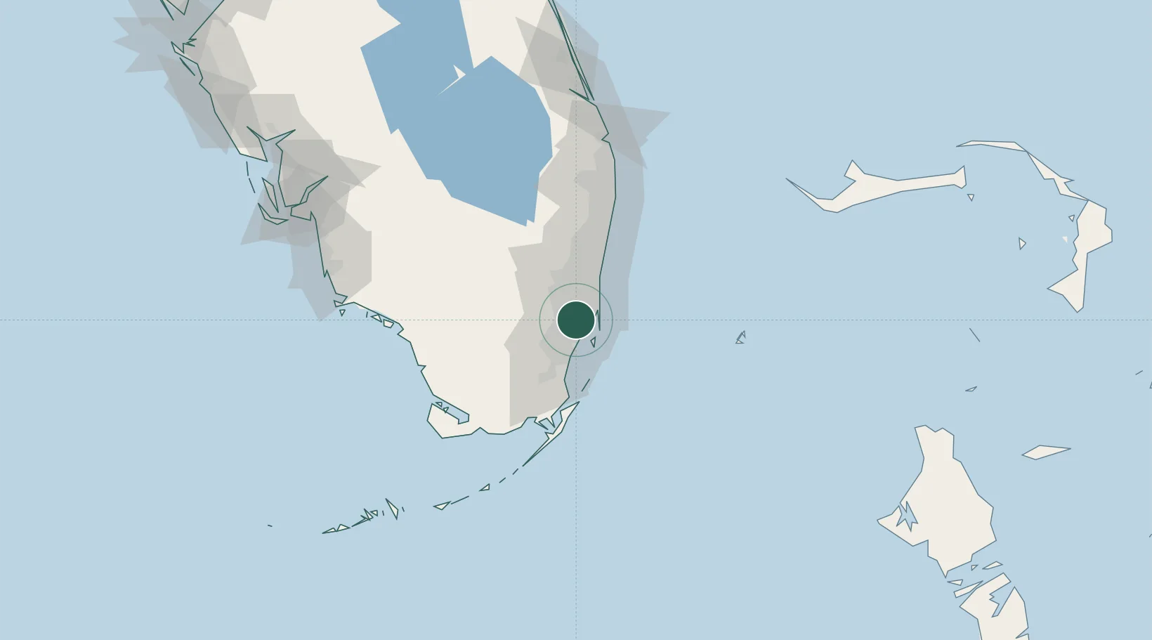
Miami
25.8394°, -80.2726°
487,014
Population
3
Transport functions
3
Container terminals
Transport Functions
Port
Airport
Postal
Hub Profile
Place type
Provincial seat
Region
Florida
Population
487,014
Time zone
America/New_York
Elevation
2 m
Logistics facilities
84
Container terminals
3
Location
Nearby Logistics Neighbours
Cities
- 1Hialeah Gardens5 km
- 2Hialeah7 km
- 3Miami Shores9 km
- 4North Miami10 km
- 5Carol City11 km
Ports
- 1Port Everglades33 km
- 2Palm Beach106 km
- 3Freeport167 km
- 4Fort Pierce181 km
- 5Key West211 km
Airports
Trade Zones
DatabookThe Record of Consolidated Knowledge
United States beyond logistics?