UN/LOCODE hub · United States
USKKV

Miami River

25.7667°, -80.1833°
2
Transport functions

Transport Functions

Port
Multimodal
UN/LOCODE

Hub Profile

Region
FL
GeoNames

Location

Location of USKKV
Natural Earth 10m (public domain) · FL · USKKV · 25.77, -80.18GoogleOSMYandex

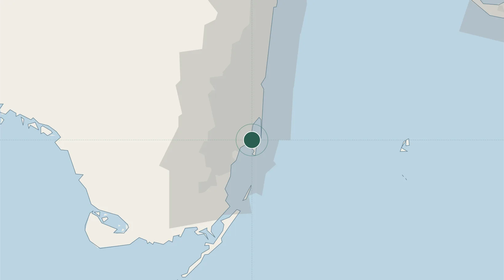
Nearby Logistics Neighbours

Cities
  1. 1Fisher Island, Miami5 km
  2. 2Miami Beach5 km
  3. 3North Bay Village8 km
  4. 4Coconut Grove9 km
  5. 5Miami Shores9 km
Nearest neighbours — logibook spatial index (haversine) over the source coordinates
Ports
  1. 1Miami2 km
  2. 2Port Everglades38 km
  3. 3Palm Beach112 km
  4. 4Freeport163 km
  5. 5Fort Pierce190 km
Nearest neighbours — logibook spatial index (haversine) over the source coordinates
Airports
  1. 1Miami International Airport11 km
  2. 2Miami-Opa Locka Executive Airport18 km
  3. 3North Perry Airport27 km
  4. 4Miami Executive Airport28 km
  5. 5Fort Lauderdale Hollywood International Airport34 km
Nearest neighbours — logibook spatial index (haversine) over the source coordinates
Trade Zones
  1. 1FTZ No. 180 Miami (Wynwood)5 km
  2. 2FTZ No. 032 Miami13 km
  3. 3FTZ No. 025 Broward County35 km
  4. 4FTZ No. 241 Fort Lauderdale48 km
  5. 5FTZ No. 281 Miami-Dade County60 km
Nearest neighbours — logibook spatial index (haversine) over the source coordinates
DatabookThe Record of Consolidated Knowledge
United States beyond logistics?
Browse databook

All Sources

LocationsUN/LOCODE
UN/LOCODE — free
Portsthe NGA World Port Index
Public domain (US gov)
AirportsOurAirports
Public domain
Trade Zonesthe World Bank SEZ database
CC BY 4.0
Trade ZonesOpen Zone Map
CC BY
← United States locations