Large airport · United States

Miami International AirportKMIA
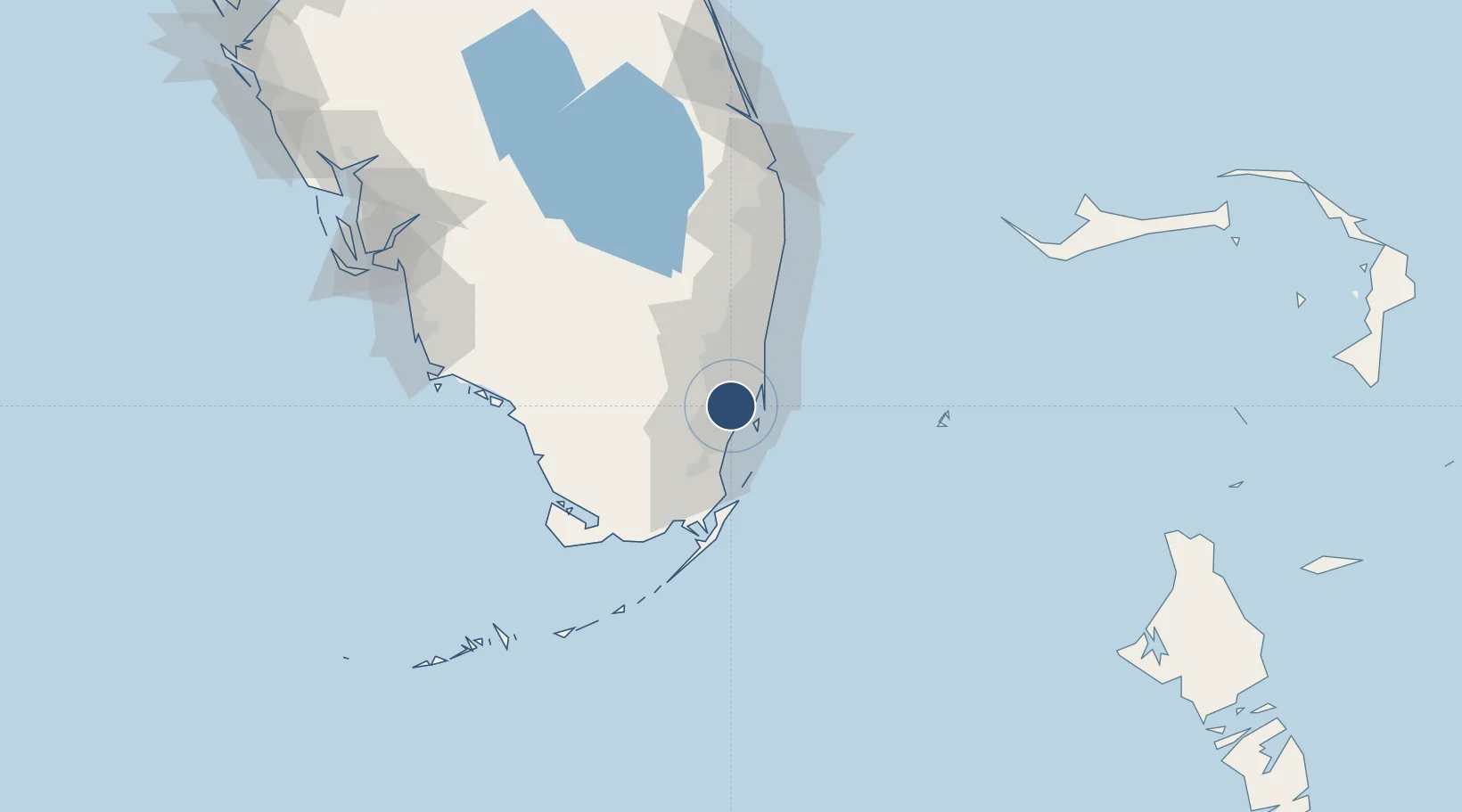
25.7960°, -80.2898°
13,016 ft
Longest runway
4
Runways
8 ft
Elevation

Runway & Layout

Miami International Airport runway & taxiway layout
Runway & taxiway layout — OpenStreetMap (ODbL) / OurAirports

Radio Frequencies

ATIS
119.15 MHz
TWR
118.3 MHz
GND
121.8 MHz
CLD
120.35 MHz
CLNC DEL
APP
120.5 MHz
DEP
119.45 MHz
UNIC
123 MHz
UNICOM
OurAirports

Navaids

DHP VORTAC Dolphin 113.90 MHz
MI NDB Keyes 248 kHz
OurAirports

Runways · 4

RunwayDimensions SurfaceTrue headingLit
09/27 13,016 × 150ft Asphalt 087°
08R/26L 10,506 × 200ft Asphalt 087°
12/30 9,360 × 150ft Asphalt 119°
08L/26R 8,600 × 150ft Asphalt 087°
OurAirports

Airport Specifications

IATA code
MIA
OurAirports
ICAO code
KMIA
OurAirports
Airport class
Large airport
OurAirports
Scheduled service
Yes
OurAirports
Runway surface
Asphalt
OurAirports
Served city
Miami
OurAirports

Location

Location of KMIA
Natural Earth 10m (public domain) · Florida · KMIA · 25.80, -80.29GoogleOSMYandex

Nearby Logistics Neighbours

Airports
  1. 1Miami-Opa Locka Executive Airport12 km
  2. 2Miami Executive Airport22 km
  3. 3North Perry Airport23 km
  4. 4Fort Lauderdale Hollywood International Airport34 km
  5. 5Homestead Air Reserve Base36 km
Nearest neighbours — logibook spatial index (haversine) over the source coordinates
Cities
  1. 1Miami5 km
  2. 2Hialeah Gardens8 km
  3. 3Hialeah10 km
  4. 4Coconut Grove10 km
  5. 5University Park10 km
Nearest neighbours — logibook spatial index (haversine) over the source coordinates
Ports
  1. 1Miami11 km
  2. 2Port Everglades38 km
  3. 3Palm Beach111 km
  4. 4Freeport170 km
  5. 5Fort Pierce186 km
Nearest neighbours — logibook spatial index (haversine) over the source coordinates
Trade Zones
  1. 1FTZ No. 032 Miami2 km
  2. 2FTZ No. 180 Miami (Wynwood)8 km
  3. 3FTZ No. 025 Broward County36 km
  4. 4FTZ No. 241 Fort Lauderdale47 km
  5. 5FTZ No. 281 Miami-Dade County52 km
Nearest neighbours — logibook spatial index (haversine) over the source coordinates
DatabookThe Record of Consolidated Knowledge
United States beyond logistics?
Browse databook

All Sources

AirportsOurAirports
Public domain
Portsthe NGA World Port Index
Public domain (US gov)
LocationsUN/LOCODE
UN/LOCODE — free
Trade Zonesthe World Bank SEZ database
CC BY 4.0
Trade ZonesOpen Zone Map
CC BY
InfrastructureOpenStreetMap
ODbL 1.0
← United States airports