Seaport · United States

Key WestUSEYW

24.5500°, -81.8167°
9.4 m
Channel depth

Channel & Berth Profile

SEA LEVEL (CD)CHANNEL BEDAnchorage · 4.9 mChannel · 9.4 mCargo pier · 9.4 m
NGA World Port Index

Pilotage, Tugs & Services

Pilotage compulsoryYES
Tug assistanceYES
Shore powerYES
Potable waterYES
Diesel bunkersYES
MedicalYES
Garbage disposalYES
NGA World Port Index

Facilities & Capabilities

Container
Ro-Ro
Liquid bulk
Dry bulk
Oil terminal
Break bulk
Dry dock
RepairsNO
BunkeringYES
Rail link
Dangerous cargo
ISPS security
NGA World Port Index

Harbour Specifications

Harbour size
Small
NGA World Port Index
Harbour type
Coastal (Natural)
NGA World Port Index
Shelter
Good
NGA World Port Index
Water body
Gulf of Mexico; North Atlantic Ocean
NGA World Port Index
Tidal range
0.3 m
NGA World Port Index
Pilotage
Yes
NGA World Port Index

Location

Location of USEYW
Natural Earth 10m (public domain) · Florida · USEYW · 24.55, -81.82GoogleOSMYandex

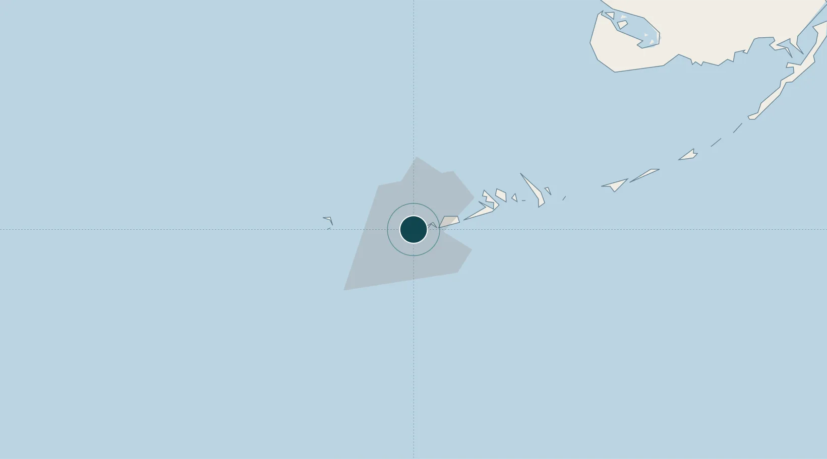
Nearby Logistics Neighbours

Ports
  1. 1Bahai De La Habana167 km
  2. 2Matanzas169 km
  3. 3Cardenas178 km
  4. 4Mariel198 km
  5. 5Cabanas208 km
Nearest neighbours — logibook spatial index (haversine) over the source coordinates
Cities
  1. 1Summerland Key39 km
  2. 2Islamorada128 km
  3. 3Plantation136 km
  4. 4Tavernier141 km
  5. 5Florida City168 km
Nearest neighbours — logibook spatial index (haversine) over the source coordinates
Airports
  1. 1Key West International Airport6 km
  2. 2Naval Air Station Key West/Boca Chica Field13 km
  3. 3Florida Keys Marathon International Airport80 km
  4. 4Miami Homestead General Aviation Airport165 km
  5. 5Kawama Airport167 km
Nearest neighbours — logibook spatial index (haversine) over the source coordinates
Trade Zones
  1. 1FTZ No. 281 Miami-Dade County156 km
  2. 2Mariel Special Development Zone198 km
  3. 3FTZ No. 032 Miami205 km
  4. 4FTZ No. 180 Miami (Wynwood)214 km
  5. 5FTZ No. 213 Fort Myers230 km
Nearest neighbours — logibook spatial index (haversine) over the source coordinates
DatabookThe Record of Consolidated Knowledge
United States beyond logistics?
Browse databook

All Sources

Portsthe NGA World Port Index
Public domain (US gov)
AirportsOurAirports
Public domain
LocationsUN/LOCODE
UN/LOCODE — free
Trade Zonesthe World Bank SEZ database
CC BY 4.0
Trade ZonesOpen Zone Map
CC BY
← United States ports