UN/LOCODE hub · United States
USN99
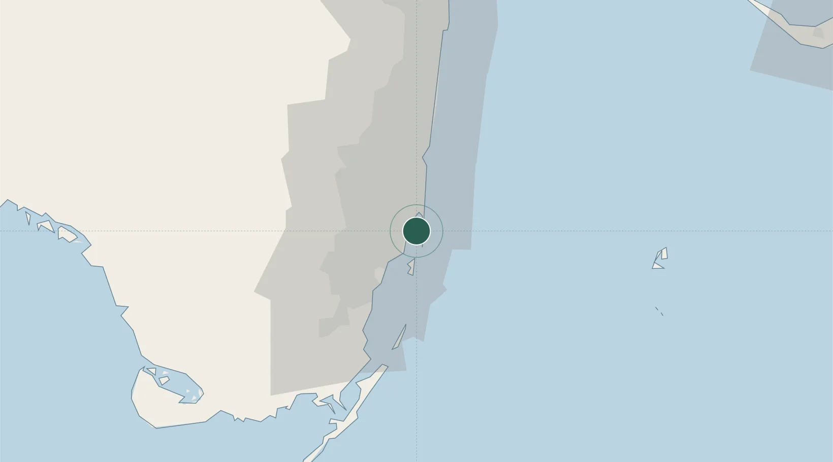
North Bay Village
25.8333°, -80.1500°
8,302
Population
2
Transport functions
Transport Functions
Port
Road
Hub Profile
Place type
Populated place
Region
Florida
Population
8,302
Time zone
America/New_York
Elevation
0 m
Location
Nearby Logistics Neighbours
Cities
- 1Miami Shores4 km
- 2Bay Harbor Islands6 km
- 3Miami Beach6 km
- 4Bal Harbour7 km
- 5North Miami7 km
Ports
- 1Miami7 km
- 2Port Everglades30 km
- 3Palm Beach104 km
- 4Freeport156 km
- 5Fort Pierce182 km
Airports
Trade Zones
DatabookThe Record of Consolidated Knowledge
United States beyond logistics?