Medium airport · United States

Miami Executive AirportKTMB
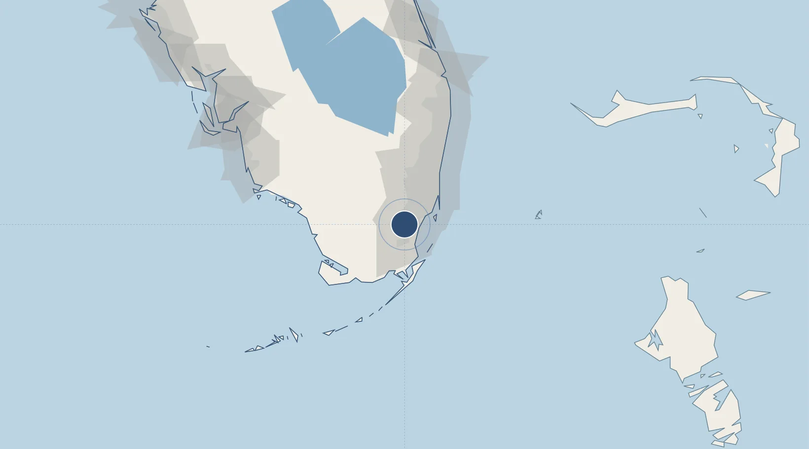
25.6479°, -80.4328°
6,000 ft
Longest runway
3
Runways
8 ft
Elevation

Runway & Layout

Miami Executive Airport runway & taxiway layout
Runway & taxiway layout — OpenStreetMap (ODbL) / OurAirports

Radio Frequencies

ATIS
124 MHz
TWR
118.9 MHz
GND
121.7 MHz
CLD
133 MHz
CLNC DEL
CTAF
118.9 MHz
A/D
125.5 MHz
MIAMI APP/DEP
RDO
122.2 MHz
MIAMI RDO
OurAirports

Runways · 3

RunwayDimensions SurfaceTrue headingLit
09R/27L 6,000 × 150ft Asphalt 087°
09L/27R 5,003 × 150ft Asphalt 087°
13/31 4,001 × 150ft Asphalt 127°
OurAirports

Airport Specifications

IATA code
TMB
OurAirports
ICAO code
KTMB
OurAirports
Airport class
Medium airport
OurAirports
Scheduled service
No
OurAirports
Runway surface
Asphalt
OurAirports
Served city
Miami
OurAirports

Location

Location of KTMB
Natural Earth 10m (public domain) · Florida · KTMB · 25.65, -80.43GoogleOSMYandex

Nearby Logistics Neighbours

Airports
  1. 1Homestead Air Reserve Base18 km
  2. 2Miami Homestead General Aviation Airport21 km
  3. 3Miami International Airport22 km
  4. 4Miami-Opa Locka Executive Airport33 km
  5. 5Ocean Reef Club Airport39 km
Nearest neighbours — logibook spatial index (haversine) over the source coordinates
Cities
  1. 1University Park12 km
  2. 2Palmetto Bay12 km
  3. 3Kings Bay13 km
  4. 4Naranja15 km
  5. 5Coconut Grove20 km
Nearest neighbours — logibook spatial index (haversine) over the source coordinates
Ports
  1. 1Miami29 km
  2. 2Port Everglades59 km
  3. 3Palm Beach130 km
  4. 4Key West185 km
  5. 5Freeport191 km
Nearest neighbours — logibook spatial index (haversine) over the source coordinates
Trade Zones
  1. 1FTZ No. 032 Miami20 km
  2. 2FTZ No. 180 Miami (Wynwood)29 km
  3. 3FTZ No. 281 Miami-Dade County32 km
  4. 4FTZ No. 025 Broward County57 km
  5. 5FTZ No. 241 Fort Lauderdale67 km
Nearest neighbours — logibook spatial index (haversine) over the source coordinates
DatabookThe Record of Consolidated Knowledge
United States beyond logistics?
Browse databook

All Sources

AirportsOurAirports
Public domain
Portsthe NGA World Port Index
Public domain (US gov)
LocationsUN/LOCODE
UN/LOCODE — free
Trade Zonesthe World Bank SEZ database
CC BY 4.0
Trade ZonesOpen Zone Map
CC BY
InfrastructureOpenStreetMap
ODbL 1.0
← United States airports