Medium airport · United States

Jonesboro Municipal AirportKJBR
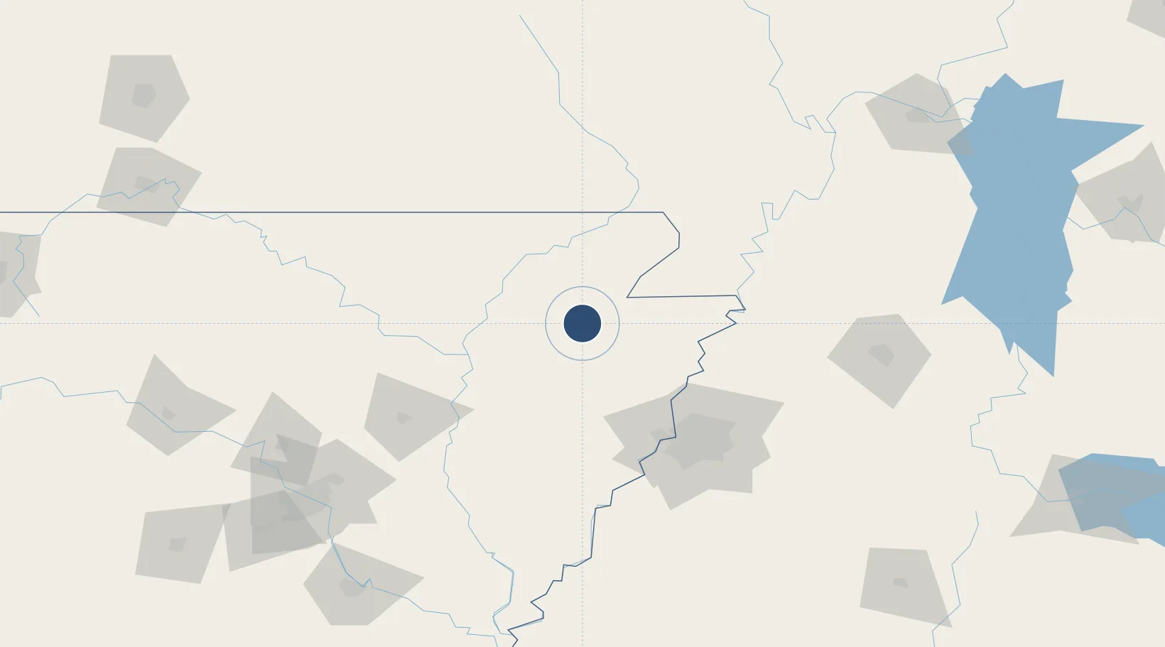
35.8317°, -90.6464°
6,200 ft
Longest runway
2
Runways
262 ft
Elevation

Runway & Layout

Jonesboro Municipal Airport runway & taxiway layout
Runway & taxiway layout — OpenStreetMap (ODbL) / OurAirports

Radio Frequencies

ASOS
118.525 MHz
CTAF
123.6 MHz
CNTR
120.075 MHz
MEMPHIS CNTR
RDO
122.2 MHz
UNIC
123 MHz
UNICOM
OurAirports

Navaids

JBR VOR-DME Jonesboro 108.60 MHz
OurAirports

Runways · 2

RunwayDimensions SurfaceTrue headingLit
05/23 6,200 × 150ft Asphalt 050°
13/31 4,099 × 150ft Asphalt 135°
OurAirports

Airport Specifications

IATA code
JBR
OurAirports
ICAO code
KJBR
OurAirports
Airport class
Medium airport
OurAirports
Scheduled service
Yes
OurAirports
Runway surface
Asphalt
OurAirports
Served city
Jonesboro
OurAirports

Location

Location of KJBR
Natural Earth 10m (public domain) · Arkansas · KJBR · 35.83, -90.65GoogleOSMYandex

Nearby Logistics Neighbours

Airports
  1. 1Arkansas International Airport65 km
  2. 2Millington-Memphis Airport88 km
  3. 3Memphis International Airport107 km
  4. 4McKellar-Sipes Regional Airport158 km
  5. 5Little Rock Air Force Base170 km
Nearest neighbours — logibook spatial index (haversine) over the source coordinates
Cities
  1. 1Bono18 km
  2. 2Trumann23 km
  3. 3Leachville38 km
  4. 4Hoxie39 km
  5. 5Waldenburg41 km
Nearest neighbours — logibook spatial index (haversine) over the source coordinates
Ports
  1. 1Port Of Memphis96 km
  2. 2Baton Rouge601 km
  3. 3Madisonville606 km
  4. 4Mobile619 km
  5. 5Slidell624 km
Nearest neighbours — logibook spatial index (haversine) over the source coordinates
Trade Zones
  1. 1FTZ No. 077 Memphis86 km
  2. 2FTZ No. 273 West Memphis87 km
  3. 3FTZ No. 283 West Tennessee88 km
  4. 4FTZ No. 223 Memphis92 km
  5. 5FTZ No. 262 Southaven113 km
Nearest neighbours — logibook spatial index (haversine) over the source coordinates
DatabookThe Record of Consolidated Knowledge
United States beyond logistics?
Browse databook

All Sources

AirportsOurAirports
Public domain
Portsthe NGA World Port Index
Public domain (US gov)
LocationsUN/LOCODE
UN/LOCODE — free
Trade Zonesthe World Bank SEZ database
CC BY 4.0
Trade ZonesOpen Zone Map
CC BY
InfrastructureOpenStreetMap
ODbL 1.0
← United States airports