Medium airport · United States

Millington-Memphis AirportKNQA
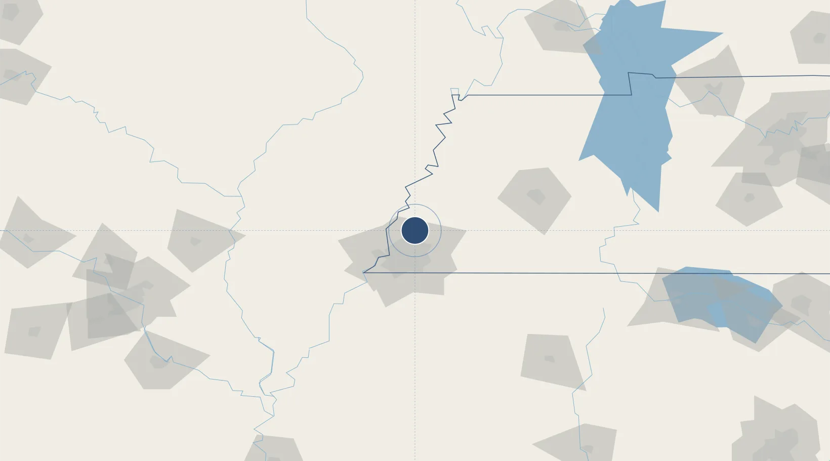
35.3567°, -89.8703°
8,001 ft
Longest runway
1
Runways
320 ft
Elevation

Runway & Layout

Millington-Memphis Airport runway & taxiway layout
Runway & taxiway layout — OpenStreetMap (ODbL) / OurAirports

Radio Frequencies

AWOS
118.925 MHz
AWOS 3
TWR
120.25 MHz
GND
121.375 MHz
APP
119.1 MHz
MEMPHIS APP
DEP
124.15 MHz
MEMPHIS DEP
CTAF
120.25 MHz
UNIC
122.95 MHz
UNICOM
OurAirports

Runways · 1

RunwayDimensions SurfaceTrue headingLit
04/22 8,001 × 150ft Asphalt / concrete 039°
OurAirports

Airport Specifications

IATA code
NQA
OurAirports
ICAO code
KNQA
OurAirports
Airport class
Medium airport
OurAirports
Scheduled service
No
OurAirports
Runway surface
Asphalt / concrete
OurAirports
Served city
Millington
OurAirports

Location

Location of KNQA
Natural Earth 10m (public domain) · Tennessee · KNQA · 35.36, -89.87GoogleOSMYandex

Nearby Logistics Neighbours

Airports
  1. 1Memphis International Airport36 km
  2. 2Arkansas International Airport68 km
  3. 3Jonesboro Municipal Airport88 km
  4. 4McKellar-Sipes Regional Airport91 km
  5. 5University Oxford Airport112 km
Nearest neighbours — logibook spatial index (haversine) over the source coordinates
Cities
  1. 1Burlison23 km
  2. 2Gallaway25 km
  3. 3Evadale30 km
  4. 4Germantown31 km
  5. 5Mason32 km
Nearest neighbours — logibook spatial index (haversine) over the source coordinates
Ports
  1. 1Port Of Memphis42 km
  2. 2Mobile545 km
  3. 3Madisonville552 km
  4. 4Baton Rouge559 km
  5. 5Biloxi561 km
Nearest neighbours — logibook spatial index (haversine) over the source coordinates
Trade Zones
  1. 1FTZ No. 223 Memphis33 km
  2. 2FTZ No. 273 West Memphis38 km
  3. 3FTZ No. 077 Memphis43 km
  4. 4FTZ No. 283 West Tennessee47 km
  5. 5FTZ No. 262 Southaven48 km
Nearest neighbours — logibook spatial index (haversine) over the source coordinates
DatabookThe Record of Consolidated Knowledge
United States beyond logistics?
Browse databook

All Sources

AirportsOurAirports
Public domain
Portsthe NGA World Port Index
Public domain (US gov)
LocationsUN/LOCODE
UN/LOCODE — free
Trade Zonesthe World Bank SEZ database
CC BY 4.0
Trade ZonesOpen Zone Map
CC BY
InfrastructureOpenStreetMap
ODbL 1.0
← United States airports