Large airport · United States
Memphis International AirportKMEM
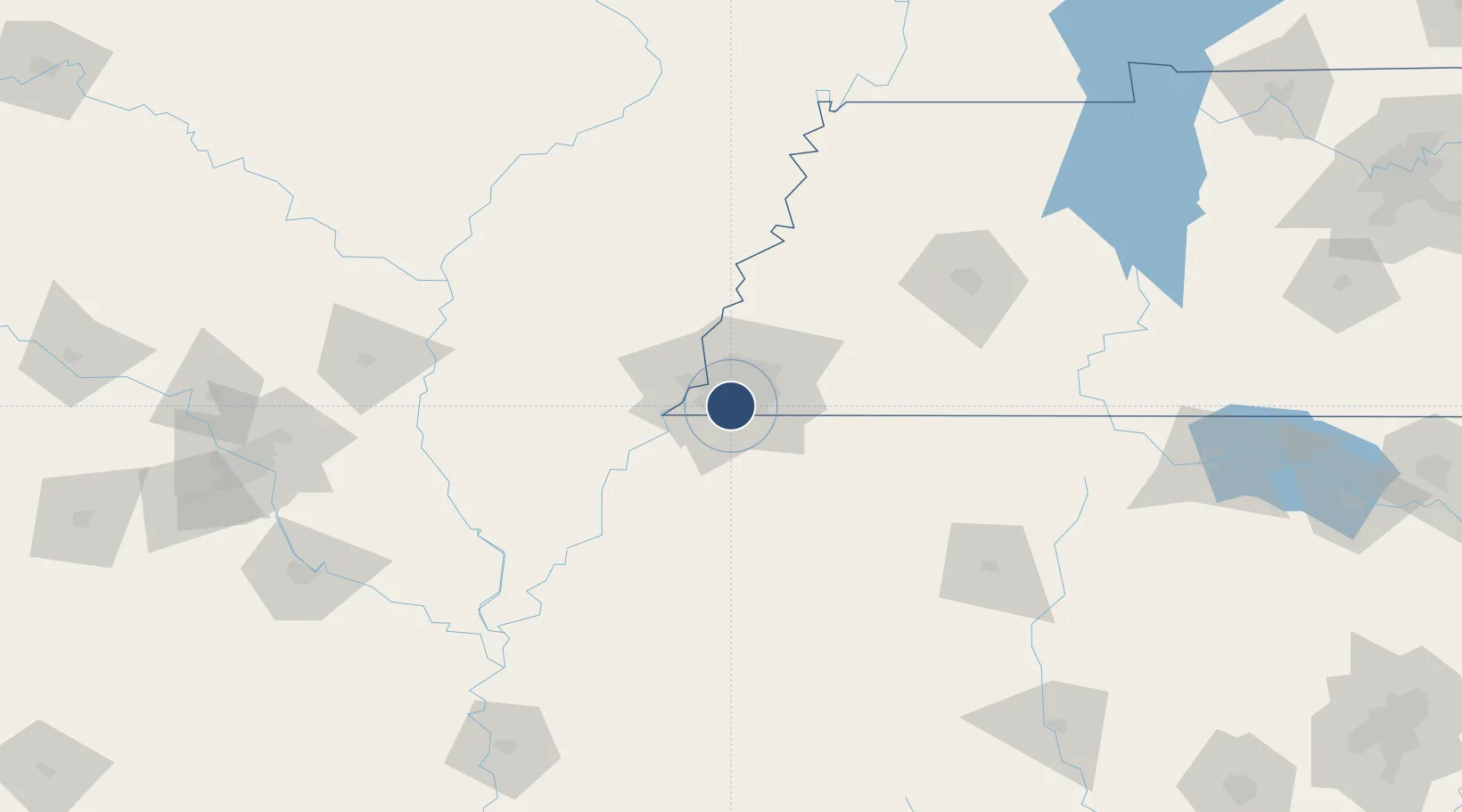
35.0438°, -89.9763°
11,120 ft
Longest runway
4
Runways
341 ft
Elevation
Runway & Layout

Radio Frequencies
ATIS
127.75 MHz
TWR
118.3 MHz
GND
121.65 MHz
CLD
125.2 MHz
CLNC DEL
APP
33.83 MHz
APP
119.1 MHz
DEP
124.15 MHz
POST
138.95 MHz
ANG COMD POST
RDO
122.2 MHz
JACKSON RDO
UNIC
122.95 MHz
UNICOM
Navaids
ME NDB Elvis 287 kHz
MEM VORTAC Memphis 117.50 MHz
Runways · 4
| Runway | Dimensions | Surface | True heading | Lit |
|---|---|---|---|---|
| 18C/36C | 11,120 × 150ft | Concrete | 179° | ✓ |
| 18R/36L | 9,320 × 150ft | Concrete | 179° | ✓ |
| 18L/36R | 9,000 × 150ft | Concrete | 179° | ✓ |
| 09/27 | 8,946 × 150ft | Asphalt | 092° | ✓ |
Airport Specifications
IATA code
MEM
ICAO code
KMEM
Airport class
Large airport
Scheduled service
Yes
Runway surface
Concrete
Served city
Memphis
Location
Nearby Logistics Neighbours
Airports
Cities
- 1Memphis2 km
- 2Southhaven14 km
- 3Germantown17 km
- 4Nesbit20 km
- 5Coldwater38 km
Ports
- 1Port Of Memphis18 km
- 2Mobile515 km
- 3Madisonville517 km
- 4Baton Rouge523 km
- 5Biloxi528 km
Trade Zones
- 1FTZ No. 262 Southaven12 km
- 2FTZ No. 223 Memphis16 km
- 3FTZ No. 273 West Memphis23 km
- 4FTZ No. 077 Memphis27 km
- 5FTZ No. 287 Tunica County77 km
DatabookThe Record of Consolidated Knowledge
United States beyond logistics?