UN/LOCODE hub · United States
USMEM
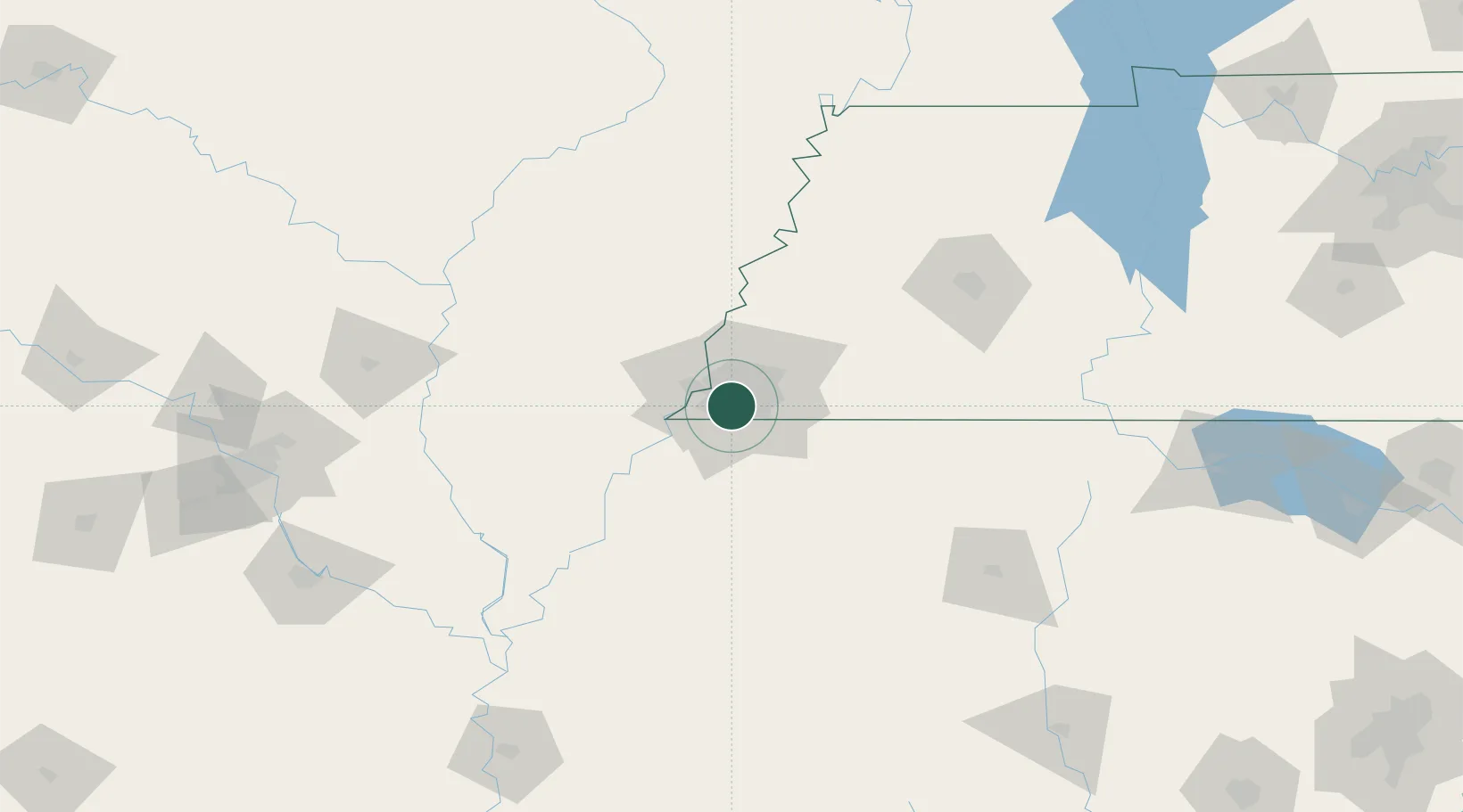
Memphis
35.0633°, -89.9876°
633,104
Population
3
Transport functions
Transport Functions
Port
Road
Airport
Hub Profile
Place type
Provincial seat
Region
Tennessee
Population
633,104
Time zone
America/Chicago
Elevation
78 m
Logistics facilities
102
Location
Nearby Logistics Neighbours
Cities
- 1Southhaven15 km
- 2Germantown17 km
- 3Nesbit22 km
- 4Coldwater40 km
- 5Gallaway45 km
Ports
- 1Mobile517 km
- 2Madisonville519 km
- 3Baton Rouge525 km
- 4Biloxi531 km
- 5Gulfport531 km
Airports
Trade Zones
- 1FTZ No. 223 Memphis13 km
- 2FTZ No. 262 Southaven13 km
- 3FTZ No. 273 West Memphis21 km
- 4FTZ No. 077 Memphis25 km
- 5FTZ No. 287 Tunica County77 km
DatabookThe Record of Consolidated Knowledge
United States beyond logistics?