Medium airport · United States
Arkansas International AirportKBYH
35.9643°, -89.9440°
11,602 ft
Longest runway
1
Runways
254 ft
Elevation
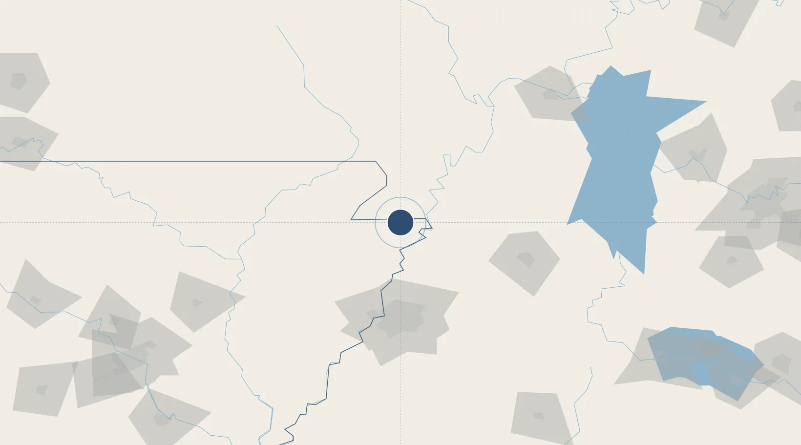
Runway & Layout

Radio Frequencies
CNTR
134.65 MHz
MEMPHIS CNTR
UNIC
122.7 MHz
CTAF/UNICOM
Navaids
GOJ VOR Gosnell 111.80 MHz
Runways · 1
| Runway | Dimensions | Surface | True heading | Lit |
|---|---|---|---|---|
| 18/36 | 11,602 × 150ft | Asphalt / concrete | 180° | ✓ |
Airport Specifications
IATA code
BYH
ICAO code
KBYH
Airport class
Medium airport
Scheduled service
No
Runway surface
Asphalt / concrete
Served city
Blytheville
Location
Nearby Logistics Neighbours
Airports
Cities
- 1Holland12 km
- 2Dell15 km
- 3Steele17 km
- 4Arbyrd28 km
- 5Leachville28 km
Ports
- 1Port Of Memphis102 km
- 2Mobile611 km
- 3Madisonville619 km
- 4Baton Rouge624 km
- 5Biloxi628 km
Trade Zones
- 1FTZ No. 283 West Tennessee34 km
- 2FTZ No. 273 West Memphis94 km
- 3FTZ No. 223 Memphis94 km
- 4FTZ No. 077 Memphis97 km
- 5FTZ No. 262 Southaven113 km
DatabookThe Record of Consolidated Knowledge
United States beyond logistics?