UN/LOCODE hub · United States
USCWP
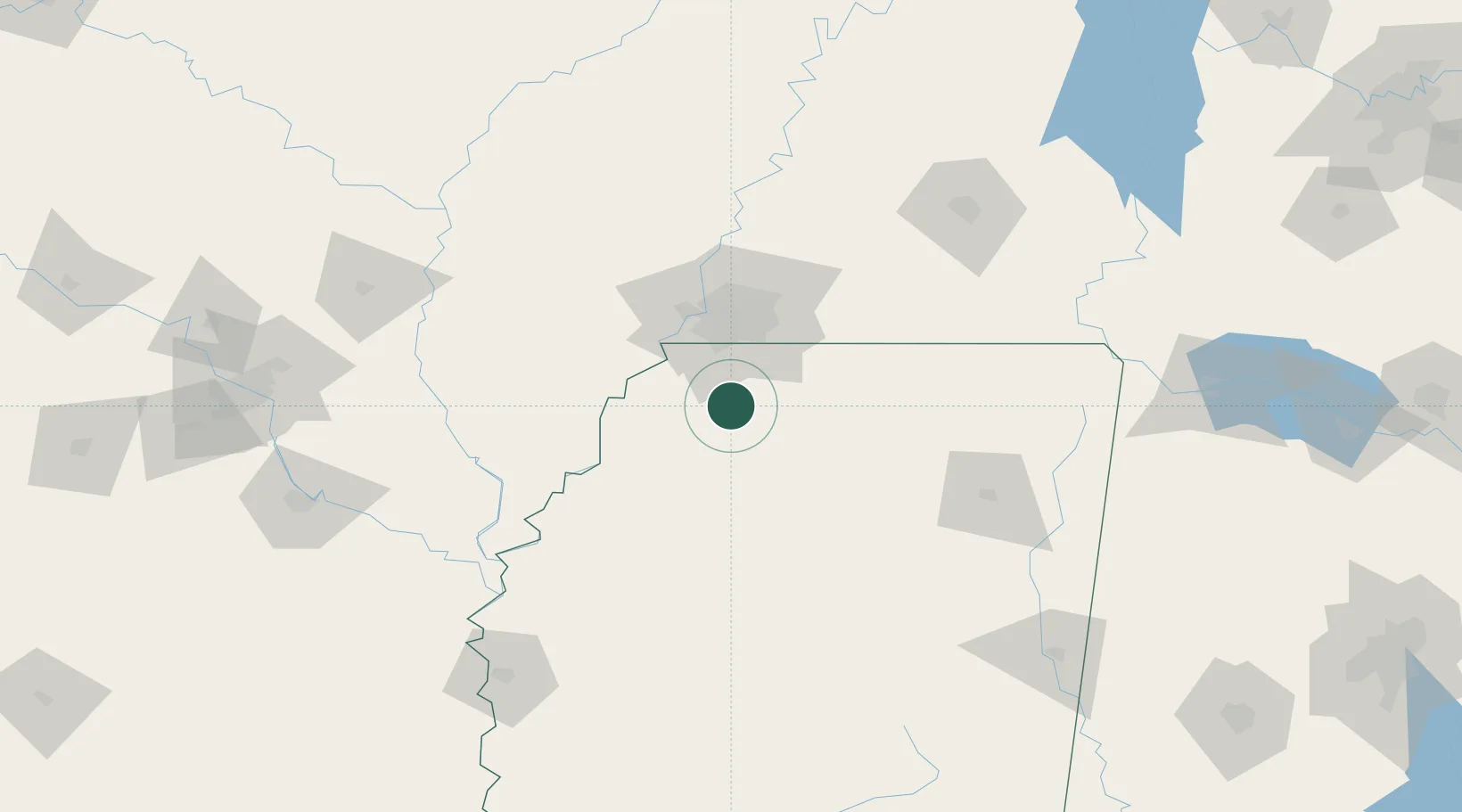
Coldwater
34.7000°, -89.9667°
1,603
Population
2
Transport functions
Transport Functions
Rail
Road
Hub Profile
Place type
Populated place
Region
Mississippi
Population
1,603
Time zone
America/Chicago
Elevation
76 m
Location
Nearby Logistics Neighbours
Cities
- 1Nesbit19 km
- 2Crenshaw30 km
- 3Southhaven34 km
- 4Tunica37 km
- 5Memphis40 km
Ports
- 1Port Of Memphis45 km
- 2Madisonville478 km
- 3Mobile479 km
- 4Baton Rouge486 km
- 5Biloxi491 km
Airports
- 1Memphis International Airport38 km
- 2University Oxford Airport53 km
- 3Millington-Memphis Airport74 km
- 4Tupelo Regional Airport120 km
- 5Greenwood–Leflore Airport135 km
Trade Zones
- 1FTZ No. 262 Southaven28 km
- 2FTZ No. 223 Memphis50 km
- 3FTZ No. 273 West Memphis54 km
- 4FTZ No. 077 Memphis54 km
- 5FTZ No. 287 Tunica County65 km
DatabookThe Record of Consolidated Knowledge
United States beyond logistics?