Transport Functions
Port
Rail
Road
Multimodal
Hub Profile
Place type
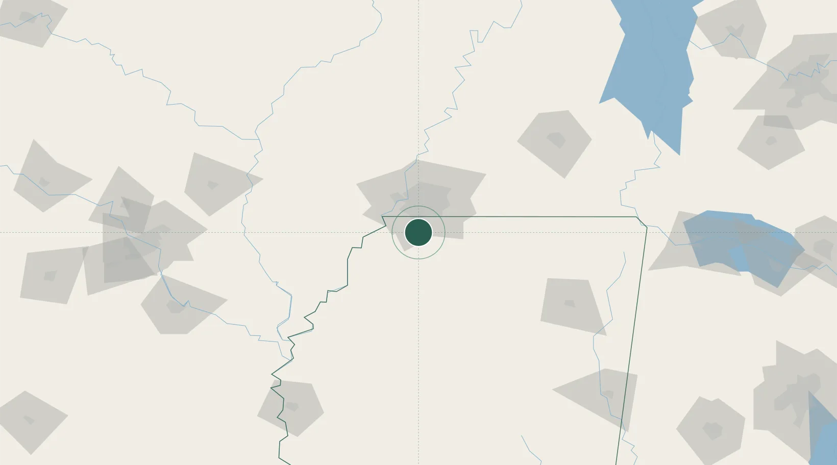
Populated place
Region
Mississippi
Time zone
America/Chicago
Elevation
85 m
Location
Nearby Logistics Neighbours
Cities
- 1Southhaven17 km
- 2Coldwater19 km
- 3Memphis22 km
- 4Germantown30 km
- 5Tunica39 km
Ports
- 1Port Of Memphis27 km
- 2Madisonville497 km
- 3Mobile497 km
- 4Baton Rouge503 km
- 5Biloxi509 km
Airports
Trade Zones
- 1FTZ No. 262 Southaven10 km
- 2FTZ No. 223 Memphis31 km
- 3FTZ No. 273 West Memphis36 km
- 4FTZ No. 077 Memphis37 km
- 5FTZ No. 287 Tunica County66 km
DatabookThe Record of Consolidated Knowledge
United States beyond logistics?