Transport Functions
Rail
Road
Multimodal
Hub Profile
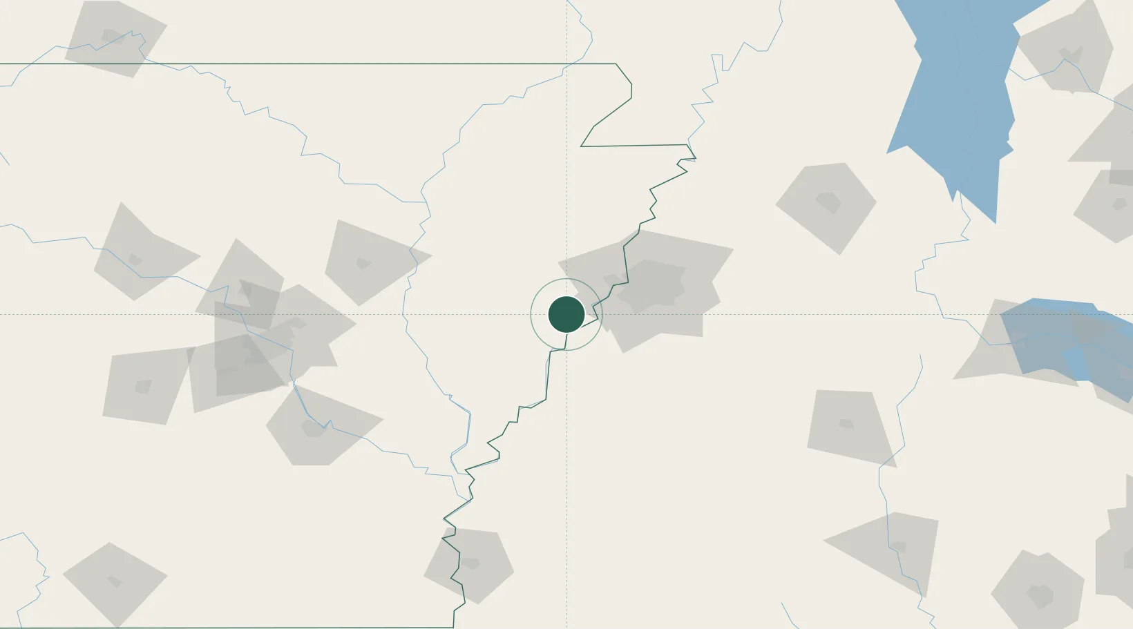
Place type
Populated place
Region
Arkansas
Population
1,323
Time zone
America/Chicago
Elevation
63 m
Location
Nearby Logistics Neighbours
Cities
- 1Widener21 km
- 2Tunica31 km
- 3Southhaven32 km
- 4Colt36 km
- 5Nesbit44 km
Ports
- 1Port Of Memphis30 km
- 2Baton Rouge505 km
- 3Madisonville507 km
- 4Mobile523 km
- 5Slidell525 km
Airports
Trade Zones
- 1FTZ No. 077 Memphis28 km
- 2FTZ No. 273 West Memphis33 km
- 3FTZ No. 287 Tunica County38 km
- 4FTZ No. 223 Memphis38 km
- 5FTZ No. 262 Southaven39 km
DatabookThe Record of Consolidated Knowledge
United States beyond logistics?