Transport Functions
Port
Road
Hub Profile
Place type
Populated place
Region
Mississippi
Time zone
America/Chicago
Elevation
87 m
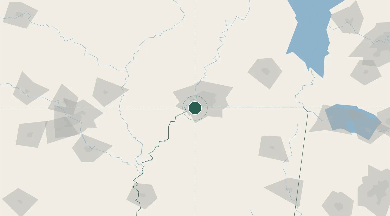
Location
Nearby Logistics Neighbours
Cities
- 1Memphis15 km
- 2Nesbit17 km
- 3Germantown31 km
- 4Hughes32 km
- 5Coldwater34 km
Ports
- 1Port Of Memphis10 km
- 2Madisonville510 km
- 3Mobile513 km
- 4Baton Rouge514 km
- 5Gulfport524 km
Airports
Trade Zones
- 1FTZ No. 262 Southaven8 km
- 2FTZ No. 223 Memphis16 km
- 3FTZ No. 273 West Memphis19 km
- 4FTZ No. 077 Memphis20 km
- 5FTZ No. 287 Tunica County62 km
DatabookThe Record of Consolidated Knowledge
United States beyond logistics?