Foreign Trade Zone · United States

FTZ No. 077 Memphis Active
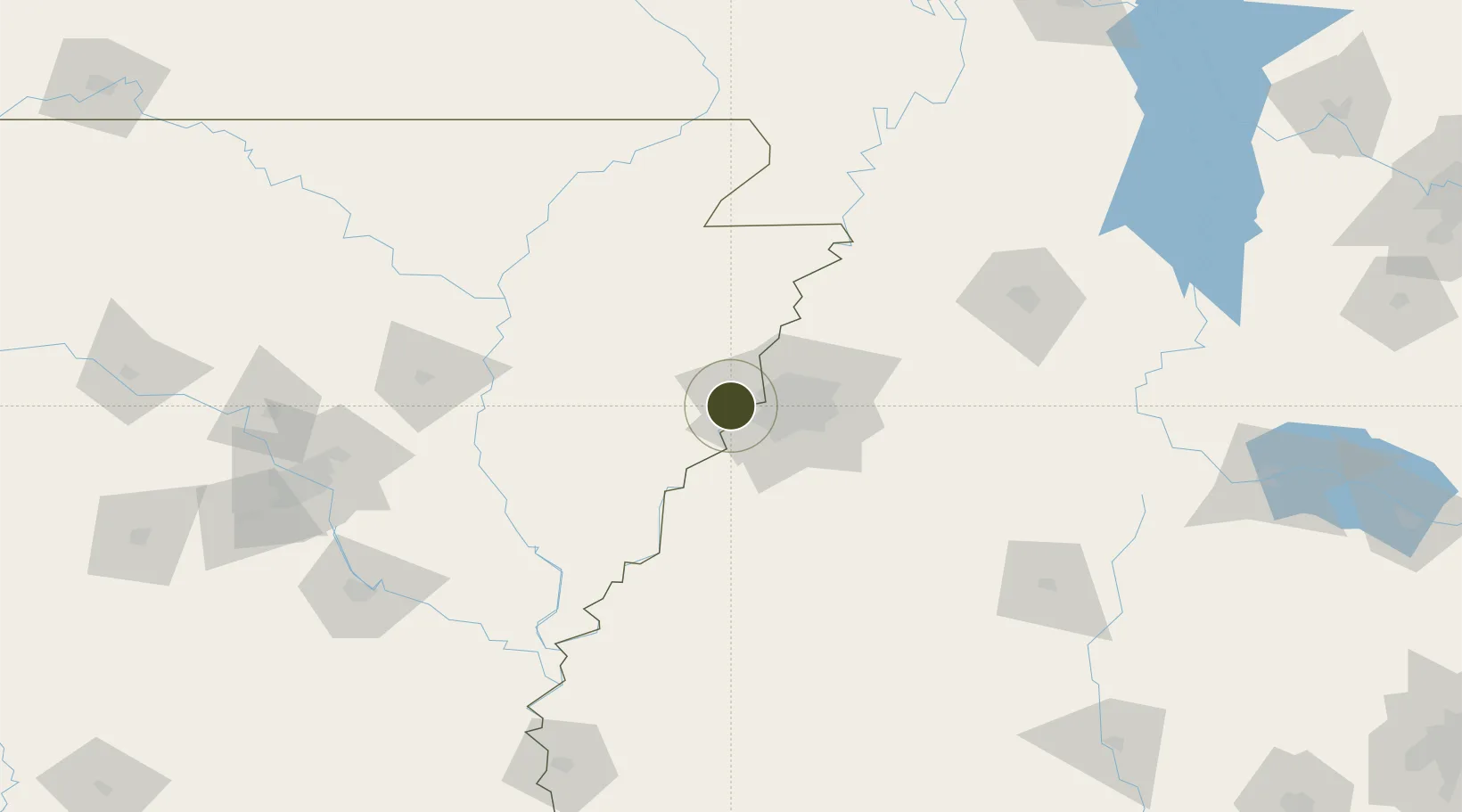
35.1289°, -90.2510°
10.3 km
Nearest port
26.7 km
Nearest airport

Gateway access

Nearest neighbours — logibook spatial index (haversine) over the source coordinates

Zone profile

Zone type
Foreign Trade Zone
Open Zone Map
Region
Arkansas
Open Zone Map
Status
Active
Open Zone Map
Management
Public-Private Partnership
Open Zone Map
Operator
The City of Memphis and the Economic Development Growth Engine (EDGE) for Memphis and Shelby County
Open Zone Map
Legal framework
Foreign-Trade Zones Act
Open Zone Map

Location

Location of ozm-4962
Natural Earth 10m (public domain) · Arkansas · ozm-4962 · 35.13, -90.25GoogleOSMYandex

Nearby Logistics Neighbours

Ports
  1. 1Port Of Memphis10 km
  2. 2Madisonville526 km
  3. 3Baton Rouge528 km
  4. 4Mobile533 km
  5. 5Slidell542 km
Nearest neighbours — logibook spatial index (haversine) over the source coordinates
Airports
  1. 1Memphis International Airport27 km
  2. 2Millington-Memphis Airport43 km
  3. 3Jonesboro Municipal Airport86 km
  4. 4Arkansas International Airport97 km
  5. 5University Oxford Airport105 km
Nearest neighbours — logibook spatial index (haversine) over the source coordinates
Cities
  1. 1Southhaven20 km
  2. 2Memphis25 km
  3. 3Hughes28 km
  4. 4Nesbit37 km
  5. 5Widener41 km
Nearest neighbours — logibook spatial index (haversine) over the source coordinates
Trade Zones
  1. 1FTZ No. 273 West Memphis6 km
  2. 2FTZ No. 223 Memphis13 km
  3. 3FTZ No. 262 Southaven28 km
  4. 4FTZ No. 287 Tunica County65 km
  5. 5FTZ No. 283 West Tennessee87 km
Nearest neighbours — logibook spatial index (haversine) over the source coordinates
DatabookThe Record of Consolidated Knowledge
United States beyond logistics?
Browse databook

All Sources

Trade ZonesOpen Zone Map
CC BY
Portsthe NGA World Port Index
Public domain (US gov)
AirportsOurAirports
Public domain
LocationsUN/LOCODE
UN/LOCODE — free
← United States trade zones