Channel & Berth Profile
Pilotage, Tugs & Services
Pilotage availableYES
Facilities & Capabilities
Container—
Ro-Ro—
Liquid bulk—
Dry bulk—
Oil terminal—
Break bulk—
Dry dock—
Repairs—
Bunkering—
Rail link—
Dangerous cargo—
ISPS security—
Harbour Specifications
Harbour size
Very Small
Harbour type
Open Roadstead
Shelter
Poor
Water body
Gulf of Alaska; North Pacific Ocean
Tidal range
3.4 m
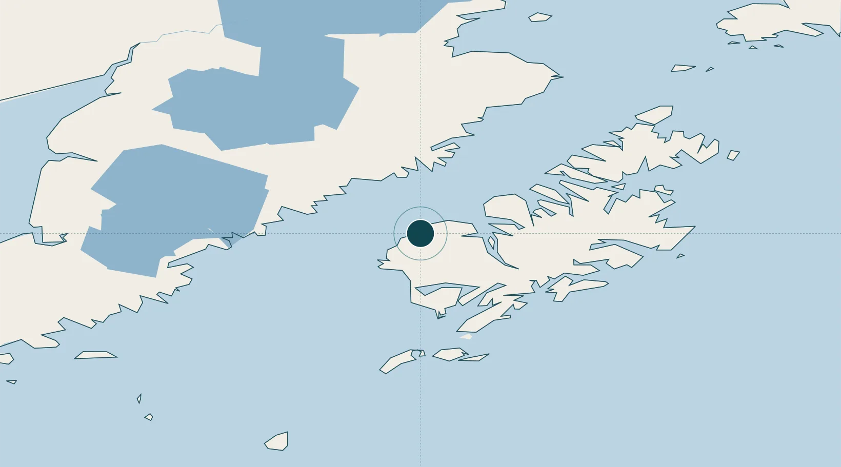
Location
Nearby Logistics Neighbours
Ports
- 1Uyak28 km
- 2Larsen Bay28 km
- 3Mccord88 km
- 4Ouzinkie122 km
- 5Kodiak124 km
Cities
- 1Kaguyak88 km
- 2Afognak111 km
- 3Jakolof Bay270 km
- 4Anchorage483 km
- 5Port MacKenzie485 km
Airports
- 1Karluk Airport0 km
- 2Larsen Bay Airport29 km
- 3Amook Bay Seaplane Base39 km
- 4Zachar Bay Seaplane Base42 km
- 5Olga Bay Seaplane Base47 km
Trade Zones
- 1FTZ No. 232 Kodiak48 km
- 2FTZ No. 160 Anchorage483 km
- 3FTZ No. 108 Valdez606 km
- 4FTZ No. 195 Fairbanks885 km
- 5PrInce George Logistics Park2006 km
DatabookThe Record of Consolidated Knowledge
United States beyond logistics?