Small airport · United States
Karluk AirportPAKY
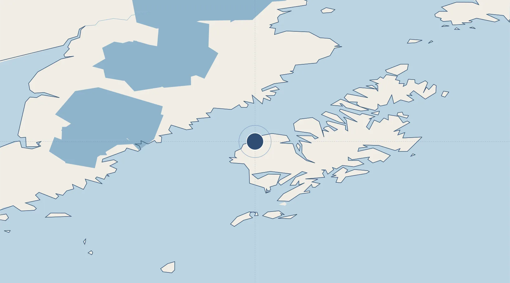
57.5659°, -154.4538°
2,000 ft
Longest runway
1
Runways
137 ft
Elevation
Runway & Layout

Runways · 1
| Runway | Dimensions | Surface | True heading | Lit |
|---|---|---|---|---|
| 10/28 | 2,000 × 60ft | GRVL-P | — | — |
Airport Specifications
IATA code
KYK
ICAO code
PAKY
Airport class
Small airport
Scheduled service
Yes
Runway surface
GRVL-P
Served city
Karluk
Location
Nearby Logistics Neighbours
Airports
- 1Larsen Bay Airport29 km
- 2Amook Bay Seaplane Base40 km
- 3Zachar Bay Seaplane Base42 km
- 4Olga Bay Seaplane Base47 km
- 5West Point Village Seaplane Base58 km
Cities
- 1Kaguyak88 km
- 2Afognak111 km
- 3Jakolof Bay270 km
- 4Anchorage483 km
- 5Port MacKenzie485 km
Ports
- 1Karluk0 km
- 2Uyak28 km
- 3Larsen Bay28 km
- 4Mccord88 km
- 5Ouzinkie122 km
Trade Zones
- 1FTZ No. 232 Kodiak48 km
- 2FTZ No. 160 Anchorage483 km
- 3FTZ No. 108 Valdez606 km
- 4FTZ No. 195 Fairbanks885 km
- 5PrInce George Logistics Park2006 km
DatabookThe Record of Consolidated Knowledge
United States beyond logistics?