Seaplane base · United States
Amook Bay Seaplane BaseAK81
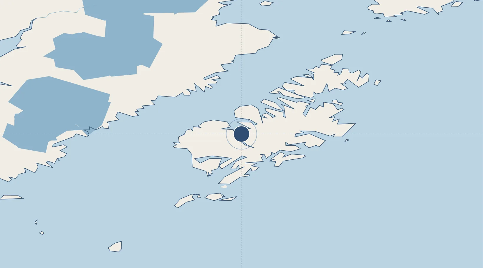
57.4715°, -153.8150°
8,000 ft
Longest runway
1
Runways
Runway & Layout
Runways · 1
| Runway | Dimensions | Surface | True heading | Lit |
|---|---|---|---|---|
| N/S | 8,000 × 700ft | Water | — | — |
Airport Specifications
IATA code
AOS
ICAO code
AK81
Airport class
Seaplane base
Scheduled service
Yes
Runway surface
Water
Served city
Amook Bay
Location
Nearby Logistics Neighbours
Airports
- 1Zachar Bay Seaplane Base10 km
- 2Larsen Bay Airport12 km
- 3West Point Village Seaplane Base37 km
- 4Karluk Airport40 km
- 5San Juan /Uganik/ Seaplane Base41 km
Cities
- 1Kaguyak67 km
- 2Afognak86 km
- 3Jakolof Bay257 km
- 4Anchorage474 km
- 5Port MacKenzie476 km
Ports
- 1Larsen Bay12 km
- 2Uyak21 km
- 3Karluk39 km
- 4Mccord51 km
- 5Kodiak91 km
Trade Zones
- 1FTZ No. 232 Kodiak9 km
- 2FTZ No. 160 Anchorage474 km
- 3FTZ No. 108 Valdez587 km
- 4FTZ No. 195 Fairbanks882 km
- 5PrInce George Logistics Park1968 km
DatabookThe Record of Consolidated Knowledge
United States beyond logistics?