Channel & Berth Profile
Facilities & Capabilities
Container—
Ro-Ro—
Liquid bulk—
Dry bulk—
Oil terminal—
Break bulk—
Dry dock—
Repairs—
Bunkering—
Rail link—
Dangerous cargo—
ISPS security—
Harbour Specifications
Harbour size
Very Small
Harbour type
Coastal (Natural)
Shelter
Fair
Water body
Gulf of Alaska; North Pacific Ocean
Tidal range
2.1 m
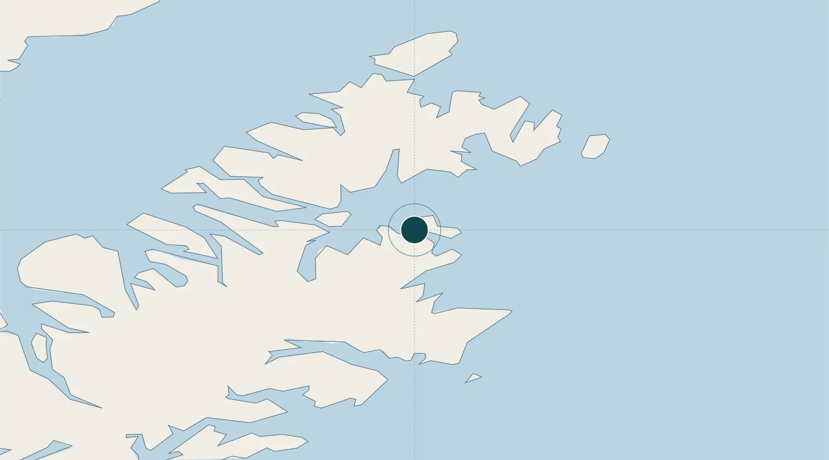
Location
Nearby Logistics Neighbours
Ports
- 1Kodiak16 km
- 2Port William63 km
- 3Uyak94 km
- 4Mccord95 km
- 5Larsen Bay98 km
Cities
- 1Afognak18 km
- 2Kaguyak140 km
- 3Jakolof Bay180 km
- 4Anchorage397 km
- 5Port MacKenzie400 km
Airports
- 1Ouzinkie Airport4 km
- 2Kodiak Airport19 km
- 3Port Lions Airport21 km
- 4Kitoi Bay Seaplane Base31 km
- 5Port Bailey Seaplane Base32 km
Trade Zones
- 1FTZ No. 232 Kodiak85 km
- 2FTZ No. 160 Anchorage398 km
- 3FTZ No. 108 Valdez497 km
- 4FTZ No. 195 Fairbanks811 km
- 5PrInce George Logistics Park1890 km
DatabookThe Record of Consolidated Knowledge
United States beyond logistics?