Runway & Layout
Airport Specifications
IATA code
KZB
Airport class
Seaplane base
Scheduled service
Yes
Served city
Zachar Bay
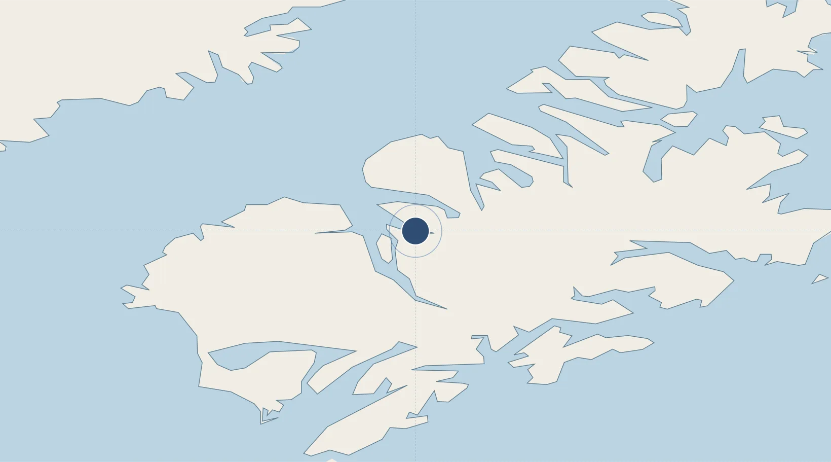
Location
Nearby Logistics Neighbours
Airports
- 1Amook Bay Seaplane Base10 km
- 2Larsen Bay Airport14 km
- 3West Point Village Seaplane Base27 km
- 4San Juan /Uganik/ Seaplane Base32 km
- 5Karluk Airport42 km
Cities
- 1Kaguyak76 km
- 2Afognak76 km
- 3Jakolof Bay248 km
- 4Anchorage464 km
- 5Port MacKenzie466 km
Ports
- 1Larsen Bay14 km
- 2Uyak18 km
- 3Karluk42 km
- 4Mccord56 km
- 5Kodiak84 km
Trade Zones
- 1FTZ No. 232 Kodiak10 km
- 2FTZ No. 160 Anchorage464 km
- 3FTZ No. 108 Valdez577 km
- 4FTZ No. 195 Fairbanks872 km
- 5PrInce George Logistics Park1964 km
DatabookThe Record of Consolidated Knowledge
United States beyond logistics?