Seaport · United States
KodiakUSADQ
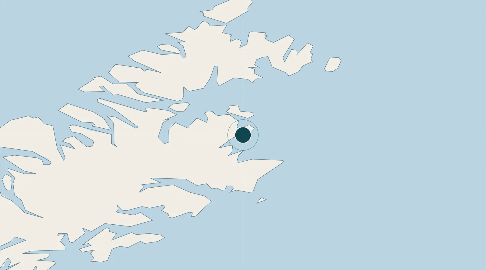
57.7833°, -152.4000°
6.4 m
Channel depth
1
Container terminals
14.6
Port liner connectivity
Channel & Berth Profile
Pilotage, Tugs & Services
Pilotage compulsoryYES
Pilotage availableYES
Tug assistanceYES
Shore powerYES
Potable waterYES
Diesel bunkersYES
MedicalYES
Garbage disposalYES
Facilities & Capabilities
Container—
Ro-Ro—
Liquid bulk—
Dry bulk—
Oil terminal—
Break bulk—
Dry dock—
RepairsNO
BunkeringYES
Rail link—
Dangerous cargo—
ISPS security—
Harbour Specifications
Harbour size
Small
Harbour type
Coastal (Natural)
Shelter
Good
Water body
Gulf of Alaska; North Pacific Ocean
Tidal range
2.1 m
Pilotage
Yes
Liner Connectivity
14.6
PLSCI
Port Liner Shipping Connectivity Index for Kodiak, as published by UNCTAD for the latest available quarter. Higher values indicate stronger scheduled liner-shipping integration.
Shown relative to the highest per-port PLSCI in the dataset (1,657.9).
Location
Container Terminals · 1
KODIAK TERMINAL
KODT PORT OF KODIAK
Nearby Logistics Neighbours
Ports
- 1Ouzinkie16 km
- 2Port William79 km
- 3Mccord85 km
- 4Uyak97 km
- 5Larsen Bay98 km
Cities
- 1Afognak32 km
- 2Kaguyak132 km
- 3Jakolof Bay192 km
- 4Anchorage409 km
- 5Port MacKenzie412 km
Airports
- 1Kodiak Airport7 km
- 2Ouzinkie Airport18 km
- 3Port Lions Airport29 km
- 4Port Bailey Seaplane Base41 km
- 5Kitoi Bay Seaplane Base45 km
Trade Zones
- 1FTZ No. 232 Kodiak83 km
- 2FTZ No. 160 Anchorage410 km
- 3FTZ No. 108 Valdez505 km
- 4FTZ No. 195 Fairbanks824 km
- 5PrInce George Logistics Park1884 km
DatabookThe Record of Consolidated Knowledge
United States beyond logistics?