Seaplane base · United States
Olga Bay Seaplane BaseKOY
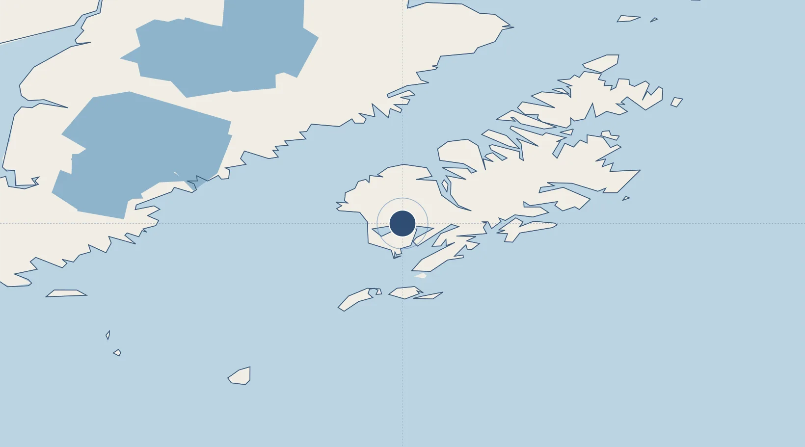
57.1615°, -154.2300°
10,000 ft
Longest runway
1
Runways
Runway & Layout
Runways · 1
| Runway | Dimensions | Surface | True heading | Lit |
|---|---|---|---|---|
| ALL/WAY | 10,000 × 1000ft | WATER-E | — | — |
Airport Specifications
IATA code
KOY
ICAO code
KOY
Airport class
Seaplane base
Scheduled service
Yes
Runway surface
WATER-E
Served city
Olga Bay
Location
Nearby Logistics Neighbours
Airports
- 1Moser Bay Seaplane Base16 km
- 2Akhiok Airport25 km
- 3Alitak Seaplane Base29 km
- 4Amook Bay Seaplane Base43 km
- 5Larsen Bay Airport44 km
Cities
- 1Kaguyak43 km
- 2Afognak128 km
- 3Jakolof Bay300 km
- 4Anchorage516 km
- 5Port MacKenzie518 km
Ports
- 1Larsen Bay44 km
- 2Karluk47 km
- 3Uyak54 km
- 4Mccord62 km
- 5Kodiak129 km
Trade Zones
- 1FTZ No. 232 Kodiak48 km
- 2FTZ No. 160 Anchorage516 km
- 3FTZ No. 108 Valdez629 km
- 4FTZ No. 195 Fairbanks923 km
- 5PrInce George Logistics Park1995 km
DatabookThe Record of Consolidated Knowledge
United States beyond logistics?