Small airport · United States
Larsen Bay AirportPALB
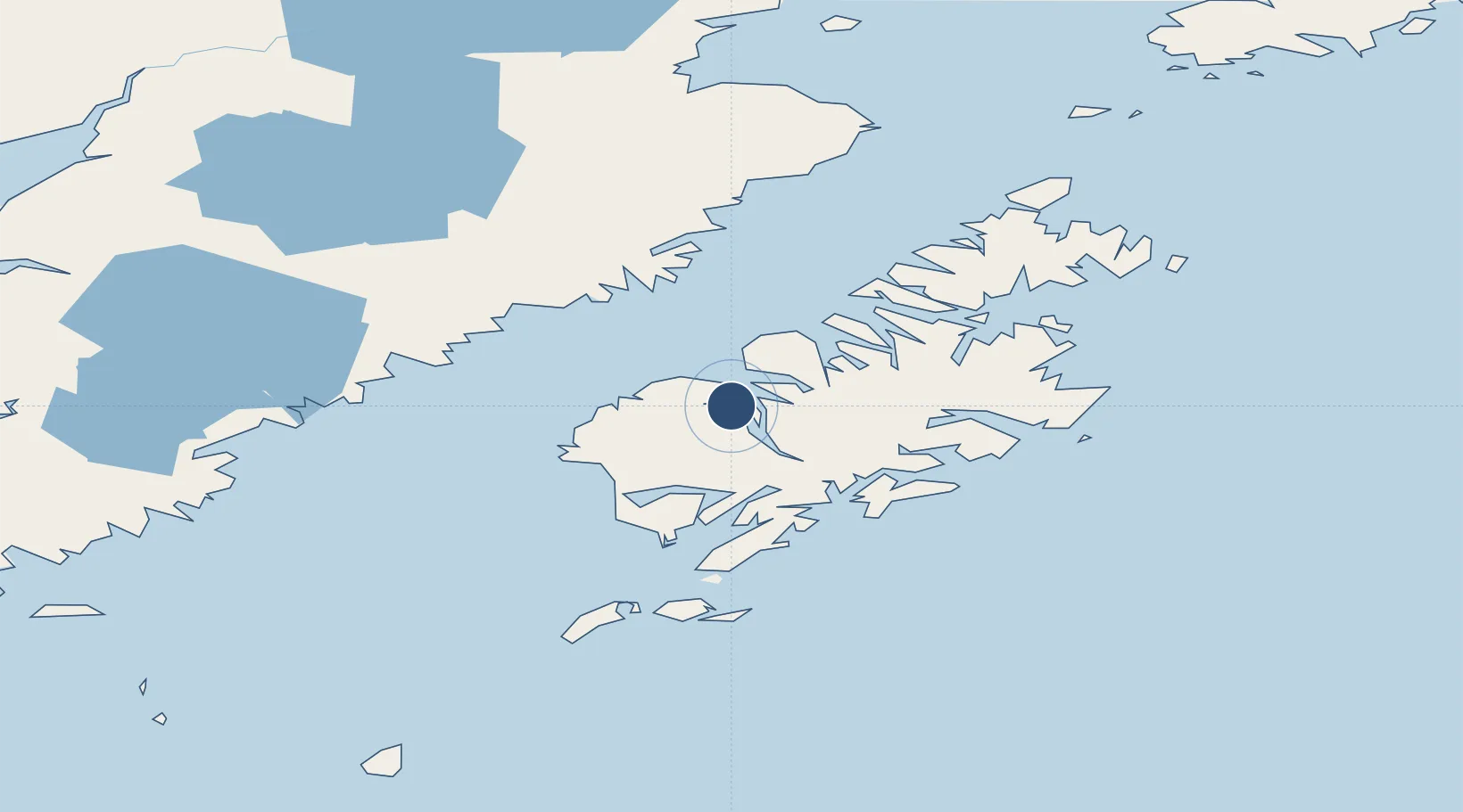
57.5352°, -153.9765°
2,690 ft
Longest runway
1
Runways
87 ft
Elevation
Runway & Layout

Runways · 1
| Runway | Dimensions | Surface | True heading | Lit |
|---|---|---|---|---|
| 04/22 | 2,690 × 75ft | GRVL-G | — | — |
Airport Specifications
IATA code
KLN
ICAO code
PALB
Airport class
Small airport
Scheduled service
Yes
Runway surface
GRVL-G
Served city
Larsen Bay
Location
Nearby Logistics Neighbours
Airports
- 1Amook Bay Seaplane Base12 km
- 2Zachar Bay Seaplane Base14 km
- 3Karluk Airport29 km
- 4West Point Village Seaplane Base37 km
- 5Olga Bay Seaplane Base44 km
Cities
- 1Kaguyak75 km
- 2Afognak88 km
- 3Jakolof Bay256 km
- 4Anchorage472 km
- 5Port MacKenzie474 km
Ports
- 1Larsen Bay1 km
- 2Uyak11 km
- 3Karluk29 km
- 4Mccord63 km
- 5Ouzinkie97 km
Trade Zones
- 1FTZ No. 232 Kodiak20 km
- 2FTZ No. 160 Anchorage472 km
- 3FTZ No. 108 Valdez588 km
- 4FTZ No. 195 Fairbanks878 km
- 5PrInce George Logistics Park1978 km
DatabookThe Record of Consolidated Knowledge
United States beyond logistics?