Small airport · United States
False Pass AirportPAKF
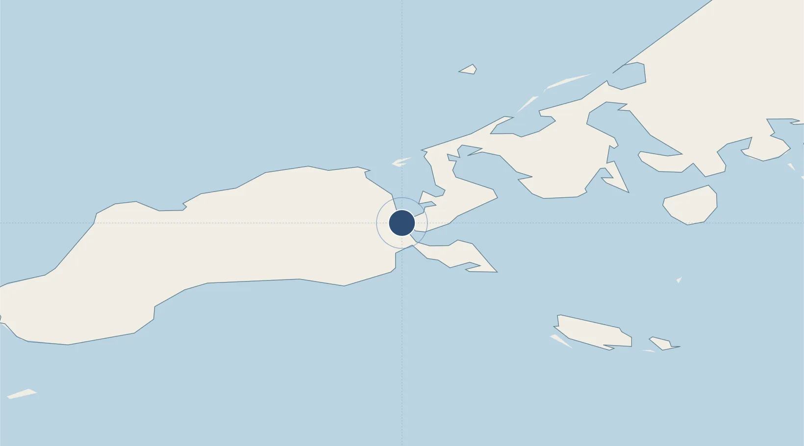
54.8475°, -163.4072°
2,100 ft
Longest runway
1
Runways
20 ft
Elevation
Runway & Layout

Runways · 1
| Runway | Dimensions | Surface | True heading | Lit |
|---|---|---|---|---|
| 13/31 | 2,100 × 75ft | GRVL-G | — | — |
Airport Specifications
IATA code
KFP
ICAO code
PAKF
Airport class
Small airport
Scheduled service
Yes
Runway surface
GRVL-G
Served city
False Pass
Location
Nearby Logistics Neighbours
Airports
- 1Cold Bay Airport59 km
- 2King Cove Airport79 km
- 3Akutan Airport162 km
- 4Akutan Seaplane Base Heliport172 km
- 5Sand Point Airport191 km
Cities
- 1Lenard Harbour70 km
- 2Dutch Harbor229 km
- 3Burnopfield567 km
- 4Kaguyak641 km
- 5Achau690 km
Ports
- 1Cold Bay60 km
- 2King Cove73 km
- 3Akutan Harbor174 km
- 4Sand Point191 km
- 5Port Moller219 km
Trade Zones
- 1FTZ No. 232 Kodiak669 km
- 2FTZ No. 160 Anchorage1063 km
- 3FTZ No. 108 Valdez1218 km
- 4FTZ No. 195 Fairbanks1408 km
- 5PrInce George Logistics Park2598 km
DatabookThe Record of Consolidated Knowledge
United States beyond logistics?