Medium airport · United States
Molokai AirportPHMK
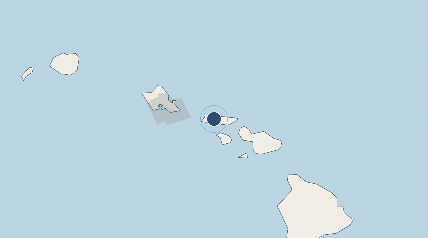
21.1529°, -157.0960°
4,494 ft
Longest runway
2
Runways
454 ft
Elevation
Runway & Layout

Radio Frequencies
ATIS
128.2 MHz
TWR
125.7 MHz
GND
121.9 MHz
CTAF
125.7 MHz
CNTR
124.1 MHz
HONOLULU CNTR
RDO
116.1 MHz
HONOLULU RDO
Navaids
MKK VORTAC Molokai 116.10 MHz
Runways · 2
| Runway | Dimensions | Surface | True heading | Lit |
|---|---|---|---|---|
| 05/23 | 4,494 × 100ft | Asphalt | 060° | ✓ |
| 17/35 | 3,118 × 100ft | Asphalt | 180° | ✓ |
Airport Specifications
IATA code
MKK
ICAO code
PHMK
Airport class
Medium airport
Scheduled service
Yes
Runway surface
Asphalt
Served city
Kaunakakai
Location
Nearby Logistics Neighbours
Airports
- 1Kalaupapa Airport14 km
- 2Lanai Airport44 km
- 3Kapalua Airport49 km
- 4Manele Heliport49 km
- 5Kahului International Airport75 km
Ports
- 1Kaunakakai10 km
- 2Lahaina55 km
- 3Kahului71 km
- 4Honolulu82 km
- 5Barber's Point107 km
Trade Zones
- 1FTZ No. 009 Honolulu81 km
- 2FTZ No. 248 Eureka3789 km
- 3FTZ No. 003 San Francisco3804 km
- 4FTZ No. 056 Oakland3814 km
- 5FTZ No. 132 Coos County3914 km
DatabookThe Record of Consolidated Knowledge
United States beyond logistics?