UN/LOCODE hub · United States
USIPC
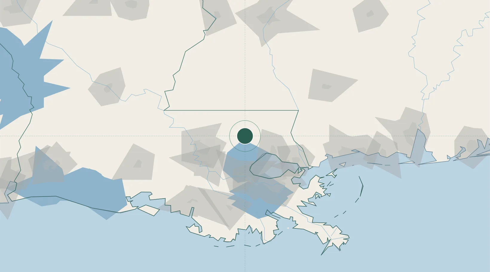
Independence
30.6333°, -90.5000°
1,810
Population
3
Transport functions
Transport Functions
Rail
Road
Multimodal
Hub Profile
Place type
Populated place
Region
Louisiana
Population
1,810
Time zone
America/Chicago
Elevation
27 m
Location
Nearby Logistics Neighbours
Cities
- 1Roseland13 km
- 2Holden22 km
- 3Bluff Creek36 km
- 4Walker, Livingston39 km
- 5Madisonville41 km
Ports
- 1Madisonville42 km
- 2Reserve65 km
- 3Baton Rouge69 km
- 4Convent76 km
- 5Destrehan77 km
Airports
Trade Zones
DatabookThe Record of Consolidated Knowledge
United States beyond logistics?