Channel & Berth Profile
Pilotage, Tugs & Services
Pilotage compulsoryYES
Pilotage advisableYES
Potable waterYES
Diesel bunkersYES
MedicalYES
Facilities & Capabilities
Container—
Ro-Ro—
Liquid bulk—
Dry bulk—
Oil terminal—
Break bulk—
Dry dock—
Repairs—
BunkeringYES
Rail link—
Dangerous cargo—
ISPS security—
Harbour Specifications
Harbour size
Very Small
Harbour type
River (Natural)
Shelter
Excellent
Water body
Gulf of Mexico; North Atlantic Ocean
Overhead limit
Yes
Pilotage
Yes
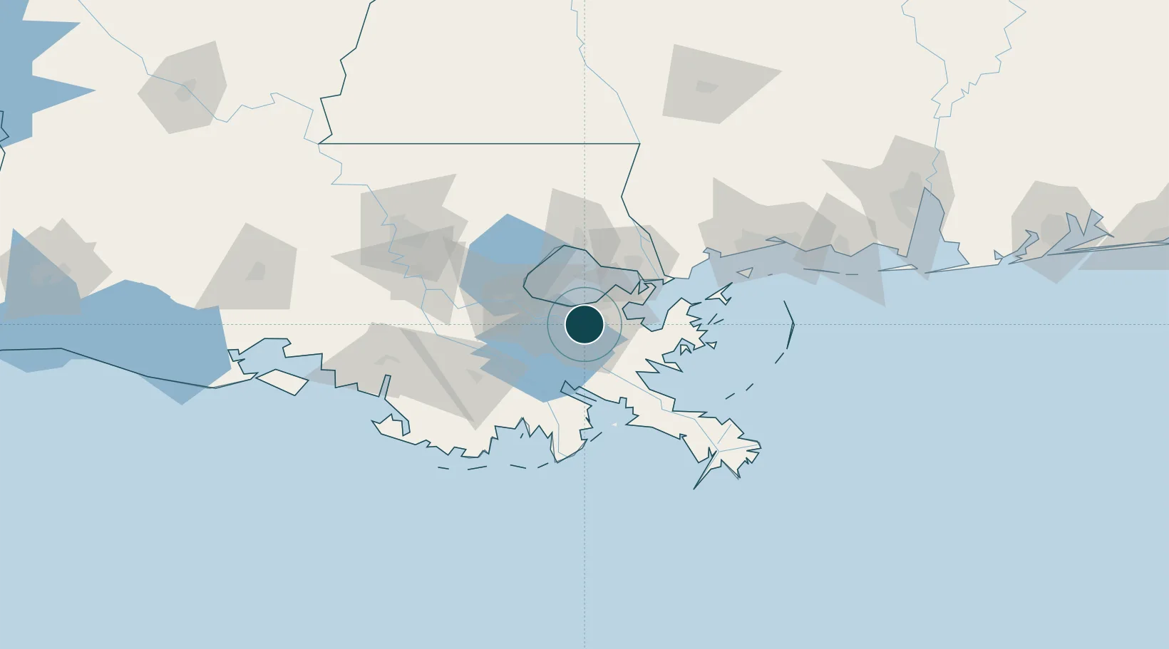
Location
Nearby Logistics Neighbours
Ports
- 1New Orleans4 km
- 2St Rose24 km
- 3Destrehan29 km
- 4Slidell48 km
- 5Reserve49 km
Cities
- 1Marrero4 km
- 2Terrytown5 km
- 3Chalmette5 km
- 4New Orleans6 km
- 5Bridge City10 km
Airports
Trade Zones
- 1FTZ No. 002 New Orleans2 km
- 2FTZ No. 124 Gramercy64 km
- 3FTZ No. 092 Harrison County119 km
- 4FTZ No. 279 Terrebonne Parish120 km
- 5FTZ No. 154 Baton Rouge128 km
DatabookThe Record of Consolidated Knowledge
United States beyond logistics?