Channel & Berth Profile
Pilotage, Tugs & Services
Pilotage compulsoryYES
Pilotage advisableYES
Potable waterYES
MedicalYES
Facilities & Capabilities
Container—
Ro-Ro—
Liquid bulk—
Dry bulk—
Oil terminal—
Break bulk—
Dry dock—
Repairs—
Bunkering—
Rail linkYES
Dangerous cargo—
ISPS security—
Harbour Specifications
Harbour size
Very Small
Harbour type
River (Natural)
Water body
Gulf of Mexico; North Atlantic Ocean
Overhead limit
Yes
Pilotage
Yes
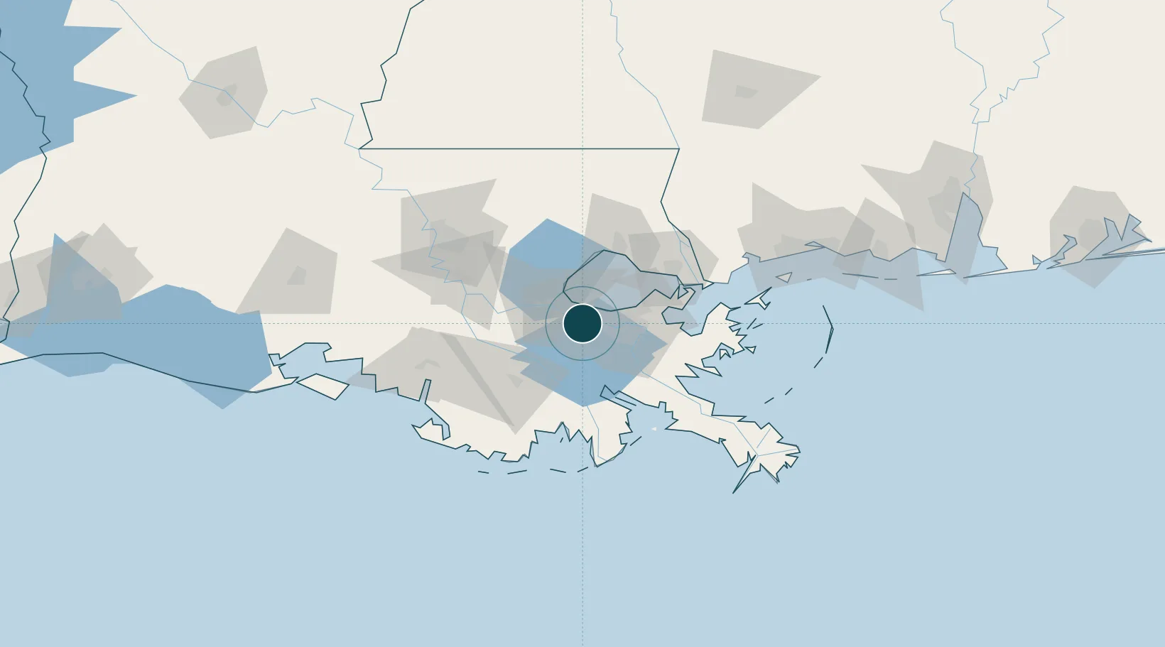
Location
Nearby Logistics Neighbours
Ports
- 1Destrehan5 km
- 2Gretna24 km
- 3Reserve25 km
- 4New Orleans26 km
- 5St. James49 km
Cities
- 1Ama3 km
- 2Boutte9 km
- 3Good Hope9 km
- 4Avondale11 km
- 5River Ridge11 km
Airports
Trade Zones
- 1FTZ No. 002 New Orleans24 km
- 2FTZ No. 124 Gramercy40 km
- 3FTZ No. 279 Terrebonne Parish102 km
- 4FTZ No. 154 Baton Rouge105 km
- 5FTZ No. 155 Calhoun Victoria Counties105 km
DatabookThe Record of Consolidated Knowledge
United States beyond logistics?