Medium airport · United States
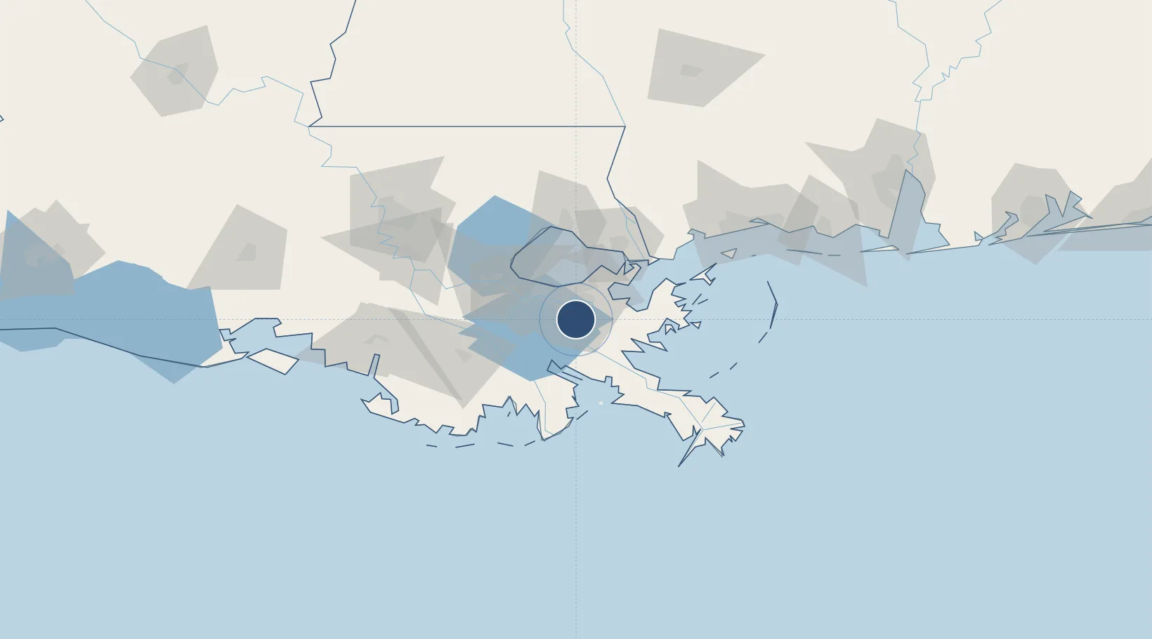
New Orleans NAS JRB/Alvin Callender FieldKNBG
29.8253°, -90.0350°
10,000 ft
Longest runway
2
Runways
2 ft
Elevation
Runway & Layout

Radio Frequencies
ATIS
27.62 MHz
TWR
123.8 MHz
NAVY NEW ORLEANS TWR
GND
121.6 MHz
NAVY NEW ORLEANS GND
A/D
123.85 MHz
APP/DEP
MISC
38.18 MHz
USCG NEW ORLEANS AIR
OPS
37.915 MHz
BASE OPS
PMSV
26.58 MHz
PMSV METRO
Navaids
HRV VORTAC Harvey 114.10 MHz
Runways · 2
| Runway | Dimensions | Surface | True heading | Lit |
|---|---|---|---|---|
| 04/22 | 10,000 × 200ft | Asphalt | 044° | ✓ |
| 14/32 | 6,000 × 200ft | Asphalt | 140° | ✓ |
Airport Specifications
IATA code
NBG
ICAO code
KNBG
Airport class
Medium airport
Scheduled service
No
Runway surface
Asphalt
Served city
New Orleans
Location
Nearby Logistics Neighbours
Airports
Cities
- 1Chalmette5 km
- 2Terrytown9 km
- 3Wills Point9 km
- 4Marrero10 km
- 5Meraux14 km
Ports
- 1Gretna11 km
- 2New Orleans14 km
- 3St Rose31 km
- 4Destrehan35 km
- 5Port Sulphur51 km
Trade Zones
- 1FTZ No. 002 New Orleans13 km
- 2FTZ No. 124 Gramercy70 km
- 3FTZ No. 279 Terrebonne Parish118 km
- 4FTZ No. 092 Harrison County122 km
- 5FTZ No. 154 Baton Rouge136 km
DatabookThe Record of Consolidated Knowledge
United States beyond logistics?