Medium airport · United States

Baton Rouge Metropolitan AirportKBTR
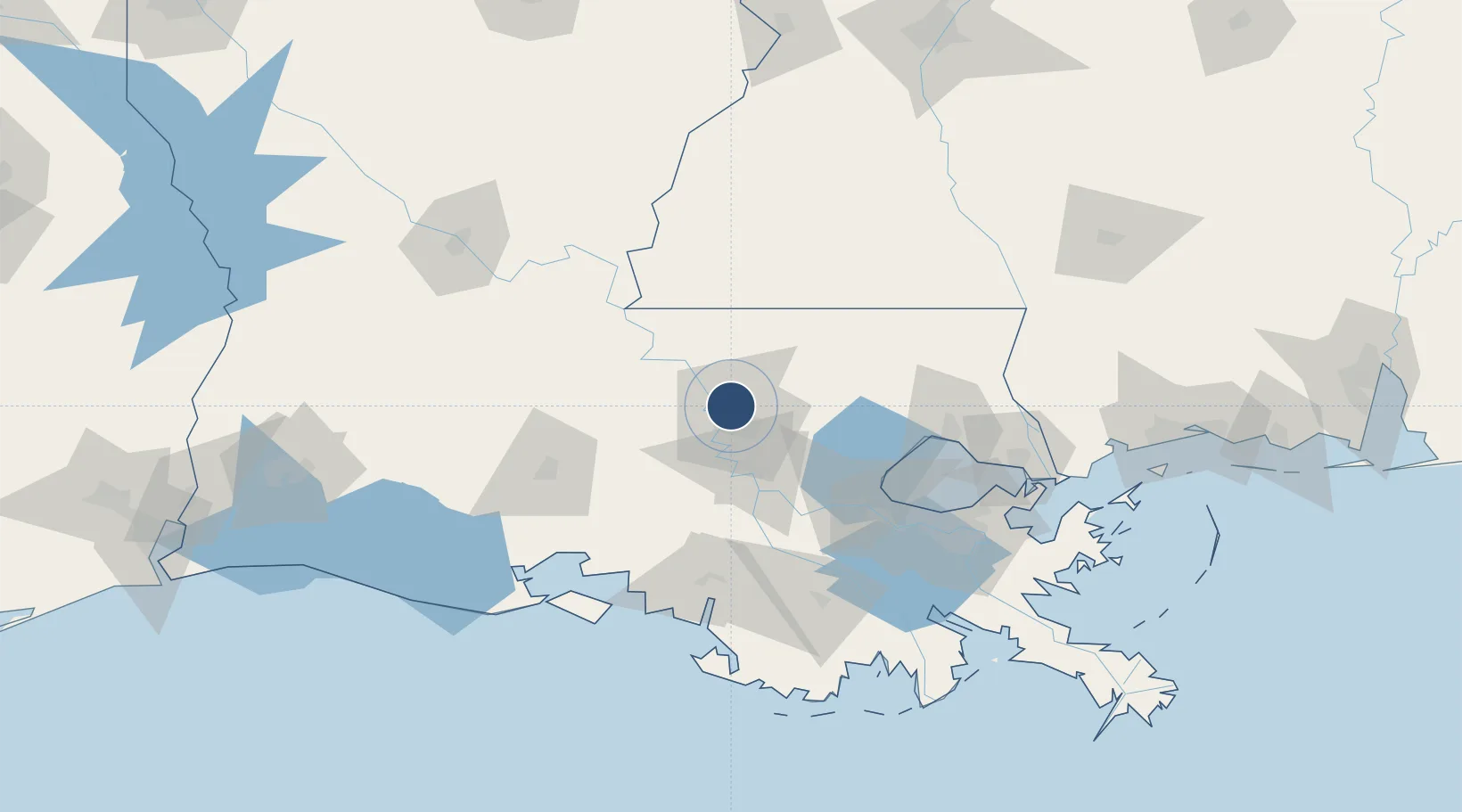
30.5332°, -91.1496°
7,500 ft
Longest runway
3
Runways
70 ft
Elevation

Runway & Layout

Baton Rouge Metropolitan Airport runway & taxiway layout
Runway & taxiway layout — OpenStreetMap (ODbL) / OurAirports

Radio Frequencies

ATIS
125.2 MHz
TWR
118.45 MHz
GND
121.9 MHz
CLD
119.4 MHz
CLNC DEL
CTAF
118.45 MHz
A/D
120.3 MHz
APP/DEP
RDO
122.2 MHz
DE RIDDER RDO
UNIC
122.95 MHz
UNICOM
OurAirports

Navaids

BT NDB Rundi 284 kHz
BTR VORTAC Baton Rouge 116.50 MHz
OurAirports

Runways · 3

RunwayDimensions SurfaceTrue headingLit
04L/22R 7,500 × 150ft Concrete 043°
13/31 7,005 × 150ft Asphalt 133°
04R/22L 3,799 × 75ft Asphalt 043°
OurAirports

Airport Specifications

IATA code
BTR
OurAirports
ICAO code
KBTR
OurAirports
Airport class
Medium airport
OurAirports
Scheduled service
Yes
OurAirports
Runway surface
Concrete
OurAirports
Served city
Baton Rouge
OurAirports

Location

Location of KBTR
Natural Earth 10m (public domain) · Louisiana · KBTR · 30.53, -91.15GoogleOSMYandex

Nearby Logistics Neighbours

Airports
  1. 1Lafayette Regional Airport88 km
  2. 2Acadiana Regional Airport90 km
  3. 3McComb-Pike County Airport / John E Lewis Field97 km
  4. 4Louis Armstrong New Orleans International Airport104 km
  5. 5Lakefront Airport121 km
Nearest neighbours — logibook spatial index (haversine) over the source coordinates
Cities
  1. 1Baton Rouge4 km
  2. 2Baker6 km
  3. 3Port Allen16 km
  4. 4Slaughter21 km
  5. 5Lakeland24 km
Nearest neighbours — logibook spatial index (haversine) over the source coordinates
Ports
  1. 1Baton Rouge10 km
  2. 2Convent65 km
  3. 3St. James69 km
  4. 4Reserve79 km
  5. 5Morgan City93 km
Nearest neighbours — logibook spatial index (haversine) over the source coordinates
Trade Zones
  1. 1FTZ No. 154 Baton Rouge14 km
  2. 2FTZ No. 155 Calhoun Victoria Counties14 km
  3. 3FTZ No. 124 Gramercy67 km
  4. 4FTZ No. 002 New Orleans124 km
  5. 5FTZ No. 279 Terrebonne Parish128 km
Nearest neighbours — logibook spatial index (haversine) over the source coordinates
DatabookThe Record of Consolidated Knowledge
United States beyond logistics?
Browse databook

All Sources

AirportsOurAirports
Public domain
Portsthe NGA World Port Index
Public domain (US gov)
LocationsUN/LOCODE
UN/LOCODE — free
Trade Zonesthe World Bank SEZ database
CC BY 4.0
Trade ZonesOpen Zone Map
CC BY
InfrastructureOpenStreetMap
ODbL 1.0
← United States airports