Foreign Trade Zone · United States

FTZ No. 155 Calhoun Victoria Counties Active
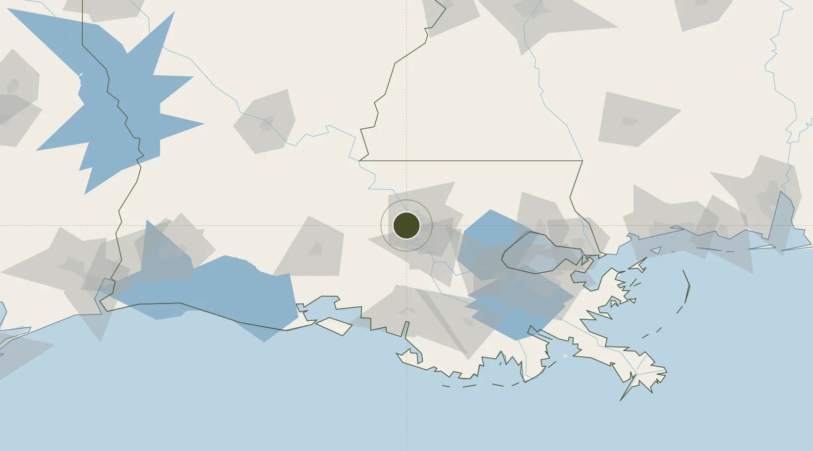
30.4414°, -91.2515°
6.6 km
Nearest port
14.1 km
Nearest airport

Gateway access

Nearest neighbours — logibook spatial index (haversine) over the source coordinates

Zone profile

Zone type
Foreign Trade Zone
Open Zone Map
Region
Louisiana
Open Zone Map
Status
Active
Open Zone Map
Management
Public-Private Partnership
Open Zone Map
Operator
Calhoun-Victoria Foreign-Trade Zone, Inc.
Open Zone Map
Legal framework
Foreign-Trade Zones Act
Open Zone Map

Location

Location of ozm-4885
Natural Earth 10m (public domain) · Louisiana · ozm-4885 · 30.44, -91.25GoogleOSMYandex

Nearby Logistics Neighbours

Ports
  1. 1Baton Rouge7 km
  2. 2Convent62 km
  3. 3St. James66 km
  4. 4Reserve80 km
  5. 5Morgan City83 km
Nearest neighbours — logibook spatial index (haversine) over the source coordinates
Airports
  1. 1Baton Rouge Metropolitan Airport14 km
  2. 2Lafayette Regional Airport75 km
  3. 3Acadiana Regional Airport76 km
  4. 4Louis Armstrong New Orleans International Airport107 km
  5. 5McComb-Pike County Airport / John E Lewis Field111 km
Nearest neighbours — logibook spatial index (haversine) over the source coordinates
Cities
  1. 1Port Allen4 km
  2. 2Baton Rouge16 km
  3. 3Baker18 km
  4. 4Saint Louis21 km
  5. 5Lakeland22 km
Nearest neighbours — logibook spatial index (haversine) over the source coordinates
Trade Zones
  1. 1FTZ No. 154 Baton Rouge0 km
  2. 2FTZ No. 124 Gramercy67 km
  3. 3FTZ No. 279 Terrebonne Parish118 km
  4. 4FTZ No. 002 New Orleans127 km
  5. 5FTZ No. 087 Lake Charles205 km
Nearest neighbours — logibook spatial index (haversine) over the source coordinates
DatabookThe Record of Consolidated Knowledge
United States beyond logistics?
Browse databook

All Sources

Trade ZonesOpen Zone Map
CC BY
Portsthe NGA World Port Index
Public domain (US gov)
AirportsOurAirports
Public domain
LocationsUN/LOCODE
UN/LOCODE — free
← United States trade zones