UN/LOCODE hub · United States
USNEW
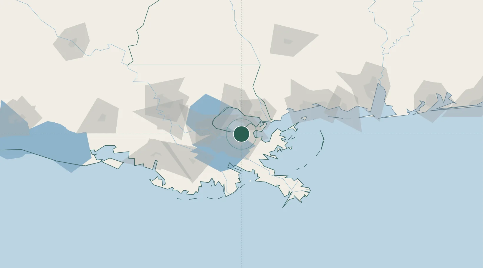
Destrehan
29.9971°, -90.0092°
11,535
Population
2
Transport functions
Transport Functions
Port
Road
Hub Profile
Place type
Populated place
Region
Louisiana
Population
11,535
Time zone
America/Chicago
Elevation
3 m
Logistics facilities
4
Location
Nearby Logistics Neighbours
Cities
- 1New Orleans6 km
- 2Terrytown11 km
- 3Meraux12 km
- 4Marrero14 km
- 5Chalmette15 km
Ports
- 1New Orleans7 km
- 2Gretna11 km
- 3St Rose30 km
- 4Slidell37 km
- 5Madisonville47 km
Airports
Trade Zones
DatabookThe Record of Consolidated Knowledge
United States beyond logistics?