UN/LOCODE hub · United States
USINV
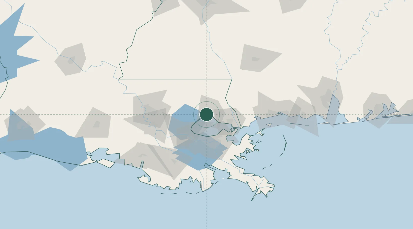
Madisonville
30.4000°, -90.1667°
813
Population
3
Transport functions
Transport Functions
Port
Road
Multimodal
Hub Profile
Place type
Populated place
Region
Louisiana
Population
813
Time zone
America/Chicago
Elevation
2 m
Location
Nearby Logistics Neighbours
Cities
- 1Covington10 km
- 2Lacombe25 km
- 3Bush34 km
- 4Independence41 km
- 5Destrehan47 km
Ports
- 1Slidell40 km
- 2New Orleans51 km
- 3St Rose52 km
- 4Reserve54 km
- 5Destrehan54 km
Airports
Trade Zones
- 1FTZ No. 002 New Orleans52 km
- 2FTZ No. 124 Gramercy65 km
- 3FTZ No. 154 Baton Rouge104 km
- 4FTZ No. 155 Calhoun Victoria Counties104 km
- 5FTZ No. 092 Harrison County115 km
DatabookThe Record of Consolidated Knowledge
United States beyond logistics?