Large airport · United States

Louis Armstrong New Orleans International AirportKMSY
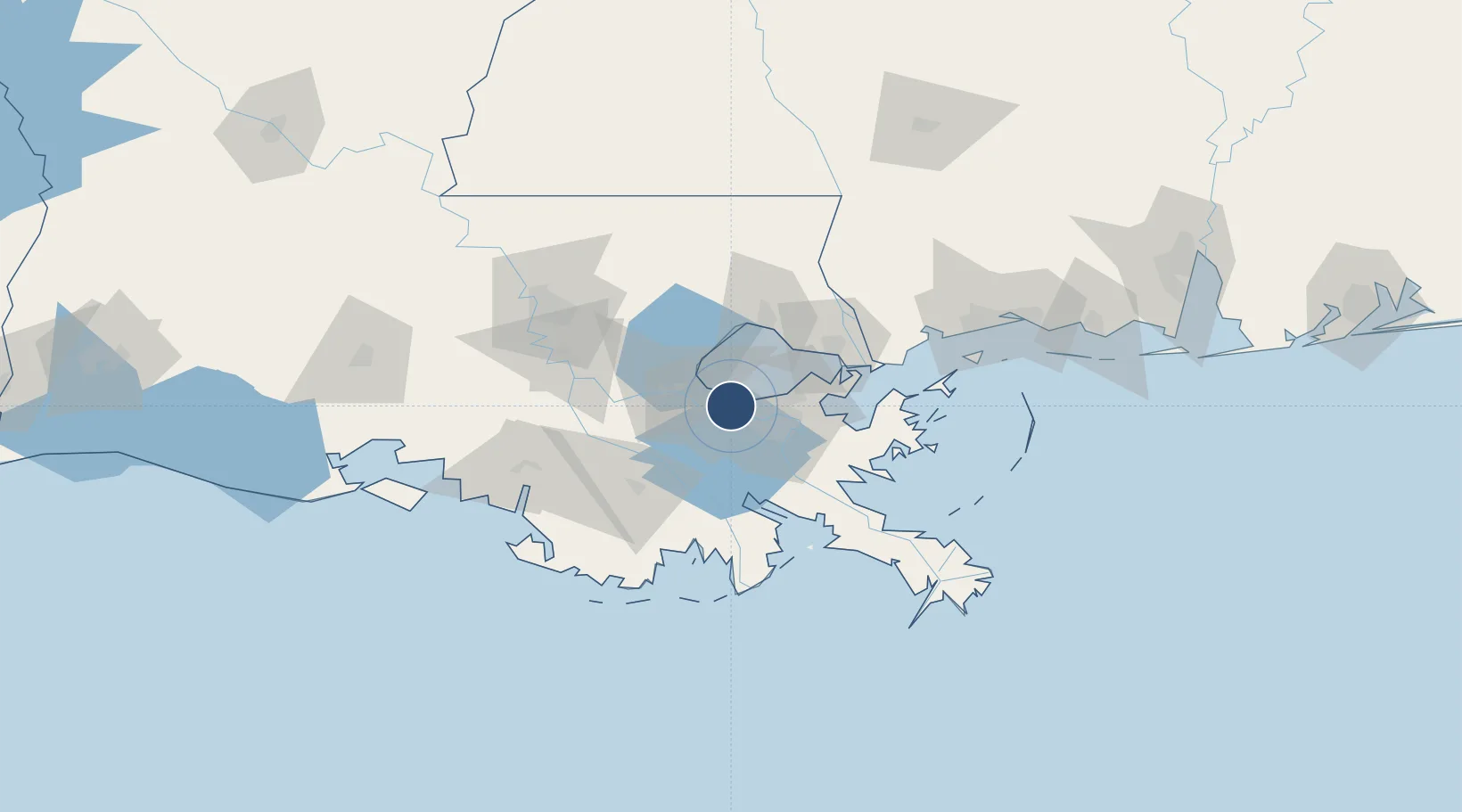
29.9934°, -90.2647°
10,104 ft
Longest runway
2
Runways
4 ft
Elevation

Runway & Layout

Louis Armstrong New Orleans International Airport runway & taxiway layout
Runway & taxiway layout — OpenStreetMap (ODbL) / OurAirports

Radio Frequencies

ATIS
127.55 MHz
TWR
119.5 MHz
GND
121.9 MHz
CLD
127.2 MHz
CLNC DEL
A/D
123.85 MHz
NEW ORLEANS APP/DEP
UNIC
122.95 MHz
UNICOM
OurAirports

Navaids

MS NDB Kinte 338 kHz
OurAirports

Runways · 2

RunwayDimensions SurfaceTrue headingLit
11/29 10,104 × 150ft Asphalt / concrete 106°
02/20 7,002 × 150ft Asphalt 015°
OurAirports

Airport Specifications

IATA code
MSY
OurAirports
ICAO code
KMSY
OurAirports
Airport class
Large airport
OurAirports
Scheduled service
Yes
OurAirports
Runway surface
Asphalt / concrete
OurAirports
Served city
New Orleans
OurAirports

Location

Location of KMSY
Natural Earth 10m (public domain) · Louisiana · KMSY · 29.99, -90.26GoogleOSMYandex

Nearby Logistics Neighbours

Airports
  1. 1Lakefront Airport23 km
  2. 2New Orleans NAS JRB/Alvin Callender Field29 km
  3. 3Baton Rouge Metropolitan Airport104 km
  4. 4Gulfport Biloxi International Airport124 km
  5. 5McComb-Pike County Airport / John E Lewis Field133 km
Nearest neighbours — logibook spatial index (haversine) over the source coordinates
Cities
  1. 1Ama5 km
  2. 2Saint Rose7 km
  3. 3River Ridge8 km
  4. 4Avondale10 km
  5. 5Waggaman11 km
Nearest neighbours — logibook spatial index (haversine) over the source coordinates
Ports
  1. 1St Rose7 km
  2. 2Destrehan11 km
  3. 3Gretna21 km
  4. 4New Orleans21 km
  5. 5Reserve28 km
Nearest neighbours — logibook spatial index (haversine) over the source coordinates
Trade Zones
  1. 1FTZ No. 002 New Orleans20 km
  2. 2FTZ No. 124 Gramercy44 km
  3. 3FTZ No. 154 Baton Rouge107 km
  4. 4FTZ No. 155 Calhoun Victoria Counties107 km
  5. 5FTZ No. 279 Terrebonne Parish109 km
Nearest neighbours — logibook spatial index (haversine) over the source coordinates
DatabookThe Record of Consolidated Knowledge
United States beyond logistics?
Browse databook

All Sources

AirportsOurAirports
Public domain
Portsthe NGA World Port Index
Public domain (US gov)
LocationsUN/LOCODE
UN/LOCODE — free
Trade Zonesthe World Bank SEZ database
CC BY 4.0
Trade ZonesOpen Zone Map
CC BY
InfrastructureOpenStreetMap
ODbL 1.0
← United States airports