Transport Functions
Rail
Road
Hub Profile
Place type
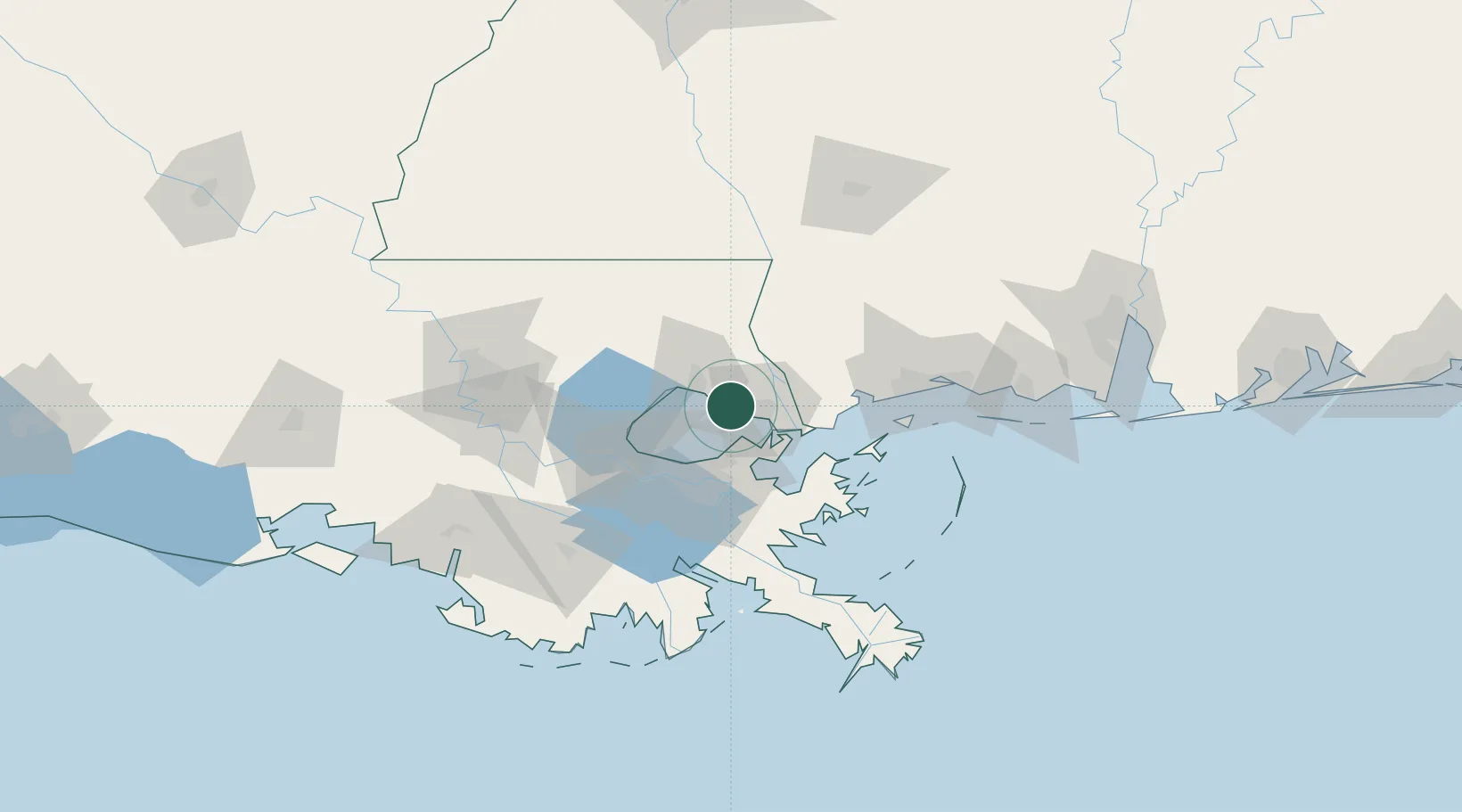
Populated place
Region
Louisiana
Population
8,679
Time zone
America/Chicago
Elevation
4 m
Location
Nearby Logistics Neighbours
Cities
- 1Covington25 km
- 2Madisonville25 km
- 3Stennis Space Center31 km
- 4Bush34 km
- 5Destrehan35 km
Ports
- 1Slidell15 km
- 2Madisonville24 km
- 3New Orleans41 km
- 4Gretna45 km
- 5St Rose54 km
Airports
Trade Zones
DatabookThe Record of Consolidated Knowledge
United States beyond logistics?