Seaport · United States
New OrleansUSMSY
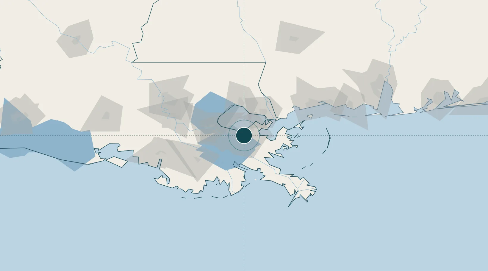
29.9500°, -90.0500°
11.0 m
Channel depth
2
Container terminals
169.2
Port liner connectivity
Channel & Berth Profile
Pilotage, Tugs & Services
Pilotage compulsoryYES
Pilotage advisableYES
Tug assistanceYES
Shore powerYES
Potable waterYES
Diesel bunkersYES
MedicalYES
Garbage disposalYES
Facilities & Capabilities
Container—
Ro-Ro—
Liquid bulk—
Dry bulk—
Oil terminal—
Break bulk—
Dry dockNO
RepairsNO
BunkeringYES
Rail linkYES
Dangerous cargo—
ISPS security—
Harbour Specifications
Harbour size
Large
Harbour type
River (Natural)
Shelter
Excellent
Water body
Gulf of Mexico; North Atlantic Ocean
Overhead limit
Yes
Pilotage
Yes
Liner Connectivity
169.2
PLSCI
Port Liner Shipping Connectivity Index for New Orleans, as published by UNCTAD for the latest available quarter. Higher values indicate stronger scheduled liner-shipping integration.
Shown relative to the highest per-port PLSCI in the dataset (1,657.9).
Location
Container Terminals · 2
NAPOLEON CONTAINER TERMINAL
NOLA PORTS AMERICA, LLC
NEW ORLEANS TERMINAL (NOT)
NOT NEW ORLEANS TERMINAL, LLC
Nearby Logistics Neighbours
Airports
Trade Zones
- 1FTZ No. 002 New Orleans2 km
- 2FTZ No. 124 Gramercy65 km
- 3FTZ No. 092 Harrison County116 km
- 4FTZ No. 279 Terrebonne Parish123 km
- 5FTZ No. 154 Baton Rouge128 km
DatabookThe Record of Consolidated Knowledge
United States beyond logistics?