Seaport · United States
WilmingtonUSILG
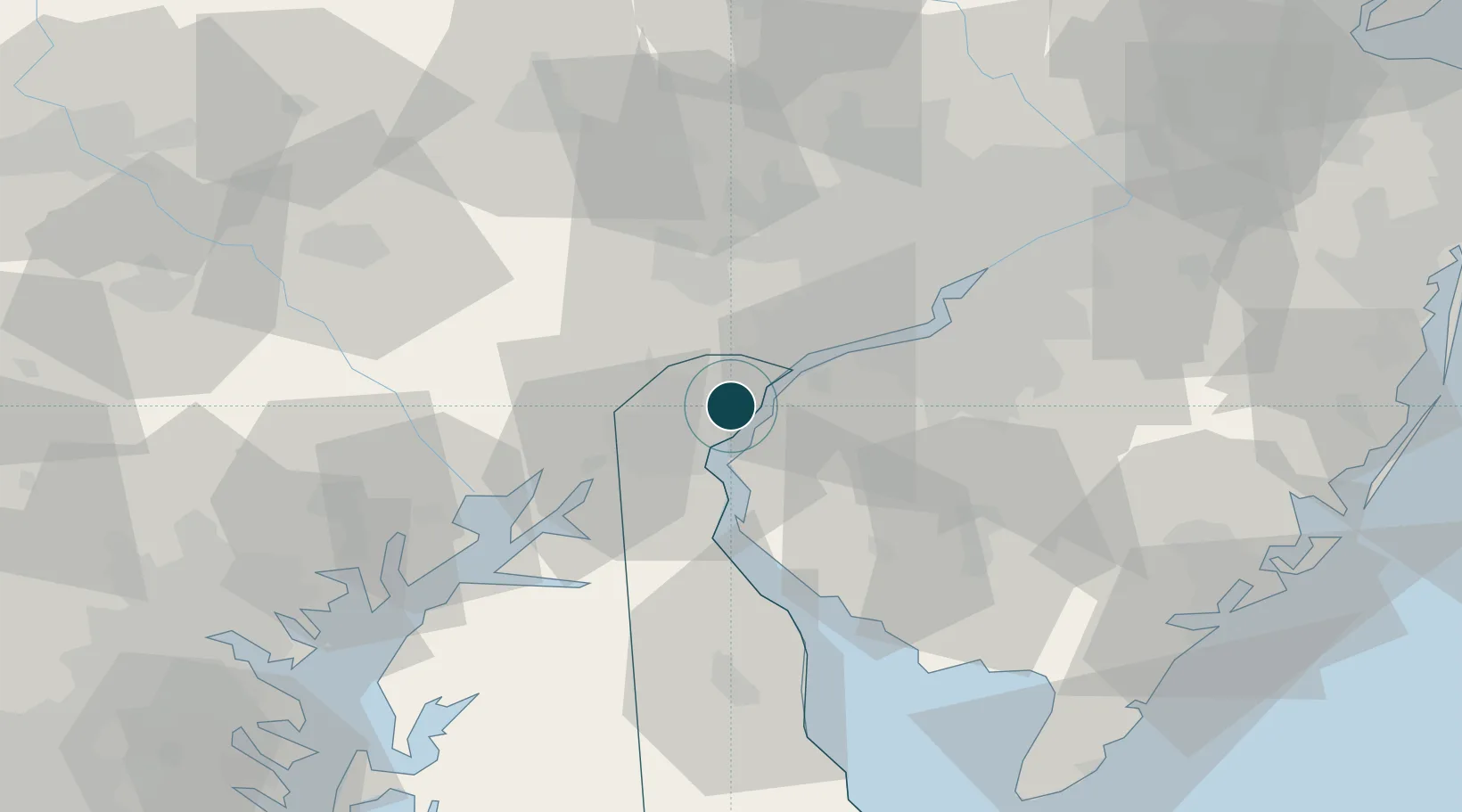
39.7333°, -75.5500°
6.4 m
Channel depth
1
Container terminals
30.0
Port liner connectivity
Channel & Berth Profile
Pilotage, Tugs & Services
Pilotage compulsoryYES
Tug assistanceYES
Salvage tugsYES
Shore powerYES
Potable waterYES
Diesel bunkersYES
MedicalYES
Garbage disposalYES
Facilities & Capabilities
Container—
Ro-Ro—
Liquid bulk—
Dry bulk—
Oil terminal—
Break bulk—
Dry dock—
RepairsNO
BunkeringYES
Rail linkYES
Dangerous cargo—
ISPS security—
Harbour Specifications
Harbour size
Medium
Harbour type
River (Natural)
Shelter
Good
Water body
North Atlantic Ocean
Tidal range
1.8 m
Overhead limit
Yes
Pilotage
Yes
Liner Connectivity
30
PLSCI
Port Liner Shipping Connectivity Index for Wilmington, as published by UNCTAD for the latest available quarter. Higher values indicate stronger scheduled liner-shipping integration.
Shown relative to the highest per-port PLSCI in the dataset (1,657.9).
Location
Container Terminals · 1
PORT WILMINGTON (DE) TERMINAL
GTUS ENSTRUCTURE LLC
Nearby Logistics Neighbours
Ports
- 1Deepwater Point5 km
- 2Salem Nj9 km
- 3New Castle9 km
- 4Marcus Hook15 km
- 5Chester22 km
Cities
- 1Winterthur9 km
- 2Marcus Hook15 km
- 3Bear15 km
- 4Concordville17 km
- 5Prospect17 km
Airports
Trade Zones
DatabookThe Record of Consolidated Knowledge
United States beyond logistics?