Transport Functions
Rail
Road
Multimodal
Hub Profile
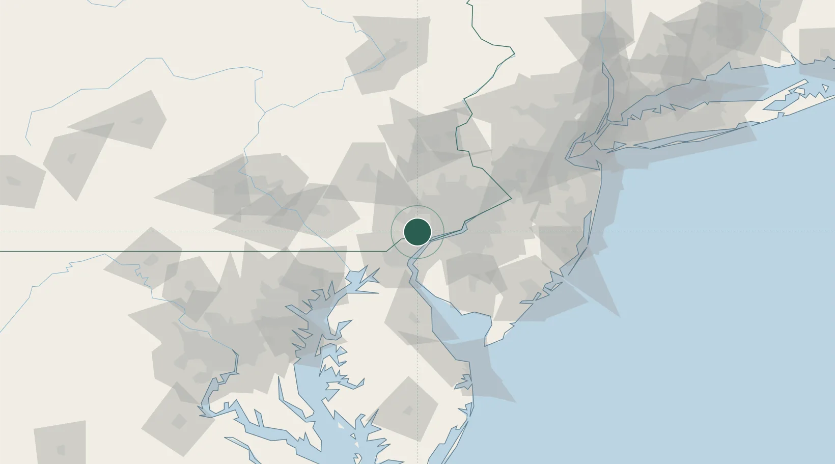
Place type
Populated place
Region
Pennsylvania
Time zone
America/New_York
Elevation
126 m
Location
Nearby Logistics Neighbours
Cities
- 1Lenni7 km
- 2Marcus Hook11 km
- 3Winterthur13 km
- 4Prospect16 km
- 5Paoli17 km
Ports
- 1Marcus Hook11 km
- 2Chester15 km
- 3Wilmington17 km
- 4Deepwater Point20 km
- 5Paulsboro23 km
Airports
Trade Zones
DatabookThe Record of Consolidated Knowledge
United States beyond logistics?