UN/LOCODE hub · United States
USILG
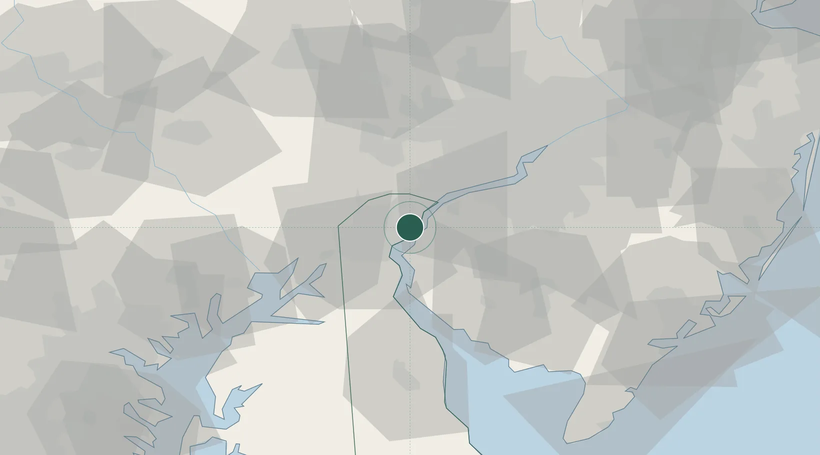
Wilmington
39.7155°, -75.5269°
70,898
Population
2
Transport functions
1
Container terminals
Transport Functions
Port
Airport
Hub Profile
Place type
Provincial seat
Region
Delaware
Population
70,898
Time zone
America/New_York
Elevation
28 m
Logistics facilities
2
Container terminals
1
Location
Nearby Logistics Neighbours
Cities
- 1Winterthur12 km
- 2Marcus Hook15 km
- 3Bear15 km
- 4Mannington Mills16 km
- 5Prospect17 km
Ports
- 1Deepwater Point2 km
- 2Salem Nj7 km
- 3New Castle8 km
- 4Marcus Hook15 km
- 5Chester21 km
Airports
Trade Zones
DatabookThe Record of Consolidated Knowledge
United States beyond logistics?