Channel & Berth Profile
Pilotage, Tugs & Services
Pilotage compulsoryYES
Shore powerYES
Diesel bunkersYES
MedicalYES
Garbage disposalYES
Facilities & Capabilities
Container—
Ro-Ro—
Liquid bulk—
Dry bulk—
Oil terminal—
Break bulk—
Dry dock—
RepairsNO
BunkeringYES
Rail linkYES
Dangerous cargo—
ISPS security—
Harbour Specifications
Harbour size
Small
Harbour type
River (Natural)
Shelter
Good
Water body
North Atlantic Ocean
Tidal range
1.8 m
Overhead limit
Yes
Pilotage
Yes
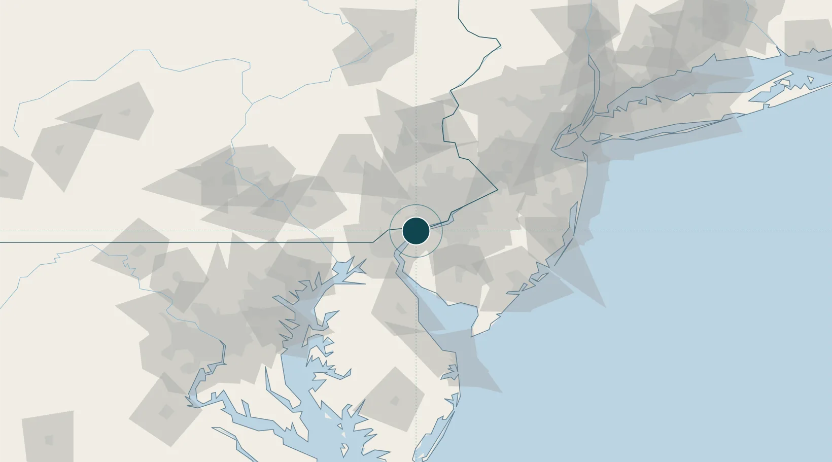
Location
Nearby Logistics Neighbours
Ports
- 1Chester7 km
- 2Wilmington15 km
- 3Paulsboro15 km
- 4Deepwater Point16 km
- 5Salem Nj18 km
Cities
- 1Prospect5 km
- 2Logan Township7 km
- 3Lenni8 km
- 4Concordville11 km
- 5Township of Woolwich12 km
Airports
Trade Zones
DatabookThe Record of Consolidated Knowledge
United States beyond logistics?